Tour Tangier and the Pocomoke by Water... Virtually
Chesapeake Conservancy has released new virtual tours of Tangier Island and the Pocomoke River. The tours are similar to what people experience with Google Street View but from the perspective of the water rather than the street. The tours are part of the Chesapeake Conservancy’s Riverview Series, which includes 14 Chesapeake waterways and special places.
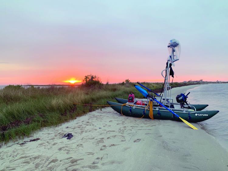
Chesapeake Conservancy’s Riverview partner, Terrain360, is a geospatial mapping company that utilizes a custom-made boat outfitted with six cameras, mounted 10 feet above the water’s surface which capture 360-degree images. These cameras are controlled by a central computer which also captures GIS data, weather data, light data, and directional data in 40-foot intervals.
“Capturing Tangier Island at a point in time has been on our bucket list for a long time,” says Ryan Abrahamsen, founder of Terrain360. “We hope this imagery will preserve memories of the island far into the future.”
Chesapeake Conservancy executive vice president Mark Conway says, “Tangier Island, the Pocomoke River, and their surrounding landscapes are important, not only to the natural beauty of the Chesapeake but to the cultural heritage of the region. Documenting Tangier Island for this and future generations is critical to preserving its history and heritage. Rising sea levels brought on by climate change, combined with the gradual land subsidence and erosion of the island are a major threat to Tangier’s unique culture and history. We’re also excited to document the 73-mile long pristine Pocomoke River, which is home to the Great Cypress Swamp, hundreds of species of birds, and many preserves and parks.”
“Pocomoke River and Tangier Sound still retain landscapes and views evocative of the time when the region’s riches sustained Native families in food, supplies, and trade goods,” says Kym Hall, National Park Service superintendent for the Colonial National Historical Park and the Captain John Smith Chesapeake National Historic Trail. “It’s gratifying that, through our partnership with Chesapeake Conservancy, people everywhere can ride along and see these places on the Chesapeake National Historic Trail.”
Visit chesapeakeconservancy.org to view all 14 virtual tours and vignettes of special places in the Chesapeake.


