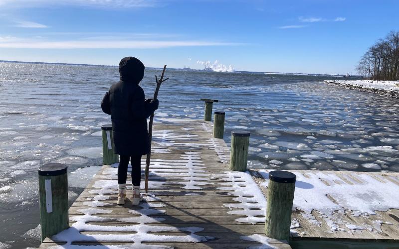
Kind of a bogus "day on the water" I guess, but it still took a lot of thoughtful navigation to get around the shoreline and on to the these impressive ice flows. While slipping and sliding at Ft Howard, we watched an ARC car-carrier head down the river and I swear they left a green Brewerton mark, G "7" to port! I guess the pilot knew what was up, or the darn thing would still be there.
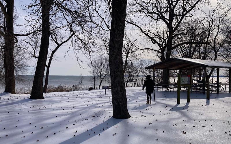
We discovered immediately that we weren't going anywhere unless assisted by a stout hiking stick. Crampons would have been a better choice, but we don't own any. Luckily a downed branch not too far from the parking lot provided two stout and pointed sticks when snapped in half. The trick was trying to navigate grades and then, getting back up a hill, no matter how small, was almost impossible. Had to dive into wooded or brushy thickets to move back uphill and grasp saplings or vines.
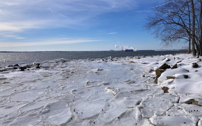
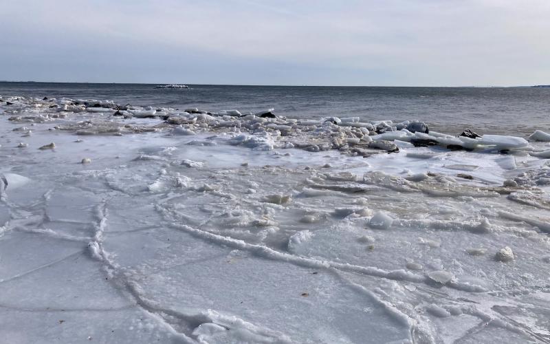
Biggest surprise was: where did all the ice go? We'd seen drone shots and coverage maps saying the upper bay was 90% full of ice. But when we got to Ft Howard by 1315 hrs, all that was left were huge floes that had made it ashore (we had no idea how) that had fashioned a treacherous, and slightly surreal, seascape.