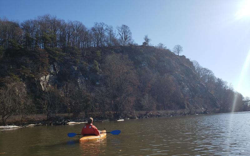
Continuing with our exploration of historic industrial remnants along the Lower Susquehanna River, Dobbs and I kayaked between Port Deposit and I-95 on both shores. Launching from Marina Park in Port Deposit and paddling south, we came to face Mt. Ararat, a wall of rock rising 200' straight up out of the river - it's breath-taking. Here, I must admit to being a conflicted graffiti afficianado - while I'm opposed to tresspassing and vandalism, I can't help but admire some of the graffiti I see, and one of these is The Eye on Mt. Ararat. It's considered a landmark and even has a Facebook page, I've just learned. Back in late November 1998 when Dobbs and I passed Mt. Ararat for the first time, underway in our 22' sailboat WHIMSEY bound for Florida, everything was chaos - we didn't know a thing about what we were doing, just learning as fast as we could on our feet - and yet I remembered The Eye. Since then, I'd wondered if it was still there - it is!
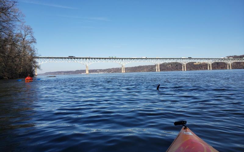
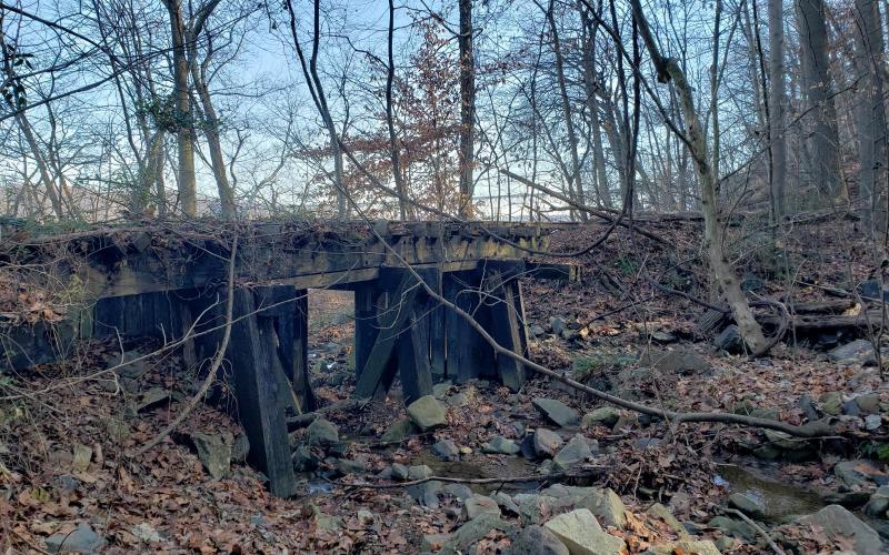
We crossed the Susquehanna, following the I-95 bridge pilings about halfway, and then drifting south with the current toward the north end of Vulcan Materials. The river was running significantly stronger compared to our paddle on 12/01. We followed the western shore north, studying the railroad. The rails are noticeably lighter than standard rails, and that's because this railroad was built (by the Philadelphia Electric Company) only to facilitate construction of the Conowingo Dam, in 1926. It's but 9 miles long and the river has been hard on it, washing it out in floods and busting it up with ice. When we stopped for lunch at the southern entrance to the Susquehanna and Tidewater Canal at St. Catherine's Island, we hiked up to take a closer look at a little trestle that spans an unnamed creek. We paddled in and out of the canal (it's choked with mud a short way in) and then up to Lapidum Landing. A north wind - strangely warm - blew strong for about an hour, making for even harder work against the current. We crossed the river the same way we did on the 1st, but then turned south and drifted along the Port Deposit shoreline. I have to say that Port Deposit sold it's soul to development the day it allowed condos and high/dry boat storage to completely blanket its waterfront in ugly white and gray vinyl (I remember it before, same as Perryville, when it was an industrial waterfront that at least had character). It's not like I didn't know the condos were there, it's just harder to witness up close. We owe a return trip to Port Deposit for a walking tour, in search of the history we know remains.


