From White-Knuckling to Serenity on the Potomac
We were looking for something new. Although Mike and I had cruised together since 1991 on four different boats and covered a fair amount of territory up and down the Bay, we tended to daysail. We were usually inclined to set a beam reach on whatever the wind gave us, sail until we ran out of Bay or time, tack once, and head back to Rockhold Creek. But the Bay was big, with lots of water new to us, and we were comfortable enough with cruising to destinations, as long as we could adjust our course along the way. For this five-day trip, our target was Smith Island, with a stage at Solomons, but things rarely turn out exactly as planned.
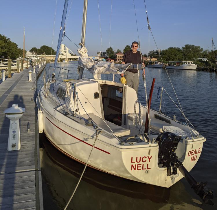
Our Pearson 26 Lucy Nell was a simple vessel with good rigging, fresh sails, and a brand new Tohatsu 6-hp Sailmaster. Her electric system included running lights, cabin lights, and a cigarette-lighter circuit to keep our personal devices charged. Instrumentation was an elderly depth sounder. For navigation we had an equally elderly compass and paper charts. We did have GPS on our phones if we felt the need, and a new hand-held radio. It was all we needed, except wind.
The first leg we mostly motored, but by Saturday evening we were comfortably installed in our berth in Back Creek, thoroughly entertained by the arrival or the Annapolis to Solomons Race fleet. Unfortunately, we had been unable to make contact with anyone on Smith Island. A quick study of our charts offered an alternative with almost the same name, Smith Creek off the Potomac’s north shore. You just have to be flexible.
Heading south from the Patuxent
Sunday morning was clear with light and variable wind. The mouth of the Patuxent was full of race boats, tacking back and forth, sorting out their sails for a regatta that morning. Sleek and fast, they swooped and swarmed around us with carbon fiber sails and color coordinated outfits. They fled the Patuxent and congregated east of Drum Point for the race. We cleared Cedar Point and headed south, watching their tall masts disappear into the distance.
It was about 20 miles south to the mouth of the Potomac. Smith Creek and Point Lookout Marina were about six miles upstream. It was a new destination for us both, though we had both sailed the Potomac before. Mike had raced small boats as a young man off the Alexandria, VA, shore. I had taken my former boat, the Morgan 34 Pavane, into the Coan River years ago and had crewed a couple of Governor’s Cups on the Islander 37 Leeway. Neither of us had been to Tick Neck.
The wind wasn’t good, but it was there. As we had on the previous leg of this journey, we motored. Some of our decision to motor was due to the rhythm we had established from day one of this adventure. And being on the water of the Chesapeake Bay on a pretty fall day, headed somewhere you’ve never been, with an old and entertaining friend, is a good place to be. Our mode of propulsion didn’t matter. As it turned out, having the sails down and lashed in place with the motor on was exactly where we needed to be when we rounded Point Lookout.
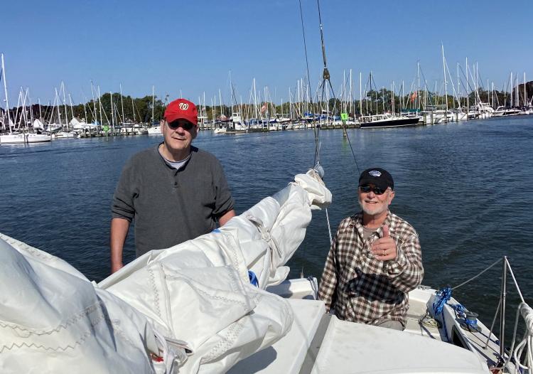
A choppy Potomac
The Potomac is the Bay’s largest river south of the Susquehanna. The confluence of the Potomac and the Chesapeake is big water, the widest part of the Bay. Depending on wind and tide, it can be a disagreeable place to sail. At Point Lookout we left a placid Bay and entered into a river with two- to three-foot chop and 20 knots of wind on our nose. We didn’t really know where we were going, somewhere not too far away on the north shore. We were taking a beating.
The bow rose and crashed into the waves, lots of spray and not much way. At one point, it seemed that we were making no way at all. I shouted back to Mike to crank up the outboard to wide open. He shouted back that we had been wide open since we turned into the river. We fell off to starboard to get a better angle on the weather. Getting out of the main channel seemed to moderate the seas. We began moving some over ground, but we were also headed to the shallows near shore. I began to wonder what it would look like if we ran out of gas.
Our depth sounder soon indicated four feet. Lucy Nell draws four feet. I asked Mike to look at the chart, find four-foot water, and tell me where to go to get out of four-foot water. He complied and shortly came back with the instructions to go hard to port. I told him that’s the wrong direction for Smith Creek. He told me that’s not the question I had asked. We went hard to port into five- and six-foot water.
We eventually found the entrance to our creek, and headed into the well-marked channel. The weather calmed dramatically. We got on the phone with the marina and got directions to keep to starboard at the fork and head into Jutland Creek. Point Lookout Marina would be at the entrance to the creek. We were to go past the fuel dock and onto the next pier past that. We managed to identify the fork, take a right, and identify the fuel dock and the pier just past it. It was a genuine relief to tie up at the dock.
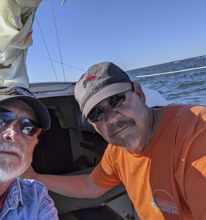
Exploring the area
The southern part of St. Mary’s County is not as remote as Smith Island, but it is not overly developed either. Ridge is the largest community in the area. The marina’s address was Ridge, but we saw no evidence of the unincorporated town from our berth. We were closer to Wynne, about a half mile from the marina, which seemed to offer an RV campground, an eight-room motel, and two restaurants. We walked to one of the two, Pier 450, which turned out to be a remarkable establishment, though something you would expect to find in Annapolis not at the end of State Road 252. We sat at tables outside overlooking the water. The food was delicious, as were the margaritas. The service was friendly and efficient. It was easy to sit and watch the day fade into a gentle twilight. It was completely dark before we reluctantly retired to the marina and Lucy Nell.
In the morning, we borrowed bicycles from the marina and peddled up to the other restaurant, Courtney’s, for breakfast. In contrast to the brand-new sophistication of Pier 450, Courtney’s looked like it had been part of the community forever. Posters, paintings and photographs covered the walls of the dining room documenting Wynne’s culture and history. Having two eggs over easy with bacon, wheat toast, and black coffee was the very thing to start the day, but we didn’t linger. We needed to get back to the boat, fill up our gas tanks, and get back on the water for our return trip.
The Potomac was a different river. There was no particular wind, and the current must have been in harmony with the tide. What had been a white-knuckle entrance was now a serene exit, and we were completely comfortable motoring yet again.
After a second night in Solomons and an unremarkable, yet pleasant motor north, we rounded Rose Haven toward Deale and home. It had been a remarkable adventure, but as we sailed up the creek to D dock and slip 42, we weren’t retrospective. We were planning our next outing. To have our choice of weather, we would block off the last week of April and the first week of May for sailing. We would go somewhere new, but we would have multiple destination options, in different directions. For next time, regardless of what the wind offered, we would have a sporting chance of actually sailing.
About the Author: More from W.R Bisquit, most of which is not about sailing, can be found at wrbisquit.com and on Amazon Books.


