See the Bay: Sailing to the Sassafras
When August rolls around, sailors in the know head to the Sassafras River to see peak bloom of the American lotuses. But there’s more to see in this river that rises in western Delaware and flows westerly to the Chesapeake Bay, acting as a boundary between Maryland’s Cecil and Kent Counties. The Sassafras, which is tidal for the majority of its approximately 20-mile length, is fresh to slightly brackish. The watershed comprises an area of 97.2 square miles, 75.5 of which is land, predominantly farms and forest.
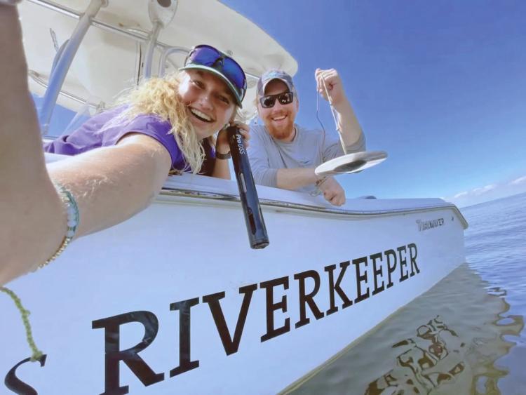
We reached out to the Sassafras Riverkeeper, Zack Kelleher, to see what draws visitors to the river and his perspective of this river recreationally and environmentally.
American lotuses in bloom
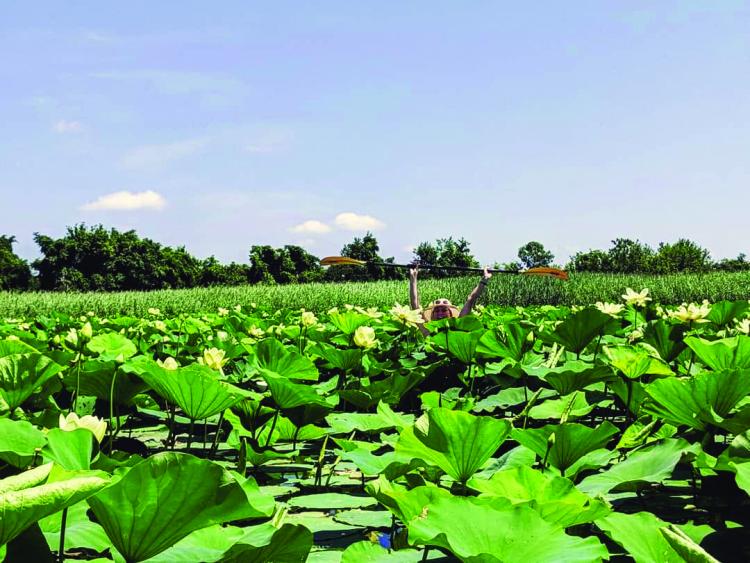
Since we asked about the American lotuses first, he said, “The lotuses just started blooming (as of July 9); peak bloom goes from the end of July into early August. People come in from all over the world to see the lotuses.”
From the public boat ramp on Turner’s Creek, you will find a couple of pockets of them, as well as up Lloyd’s Creek. Many sailors anchor in deeper water and go by kayak or dinghy to see this beautiful, seasonal spectacle in the shallows. For those traveling by land yacht, there’s parking at Turner’s Creek Landing, but it’s not a secret; so go early.
A really special river
How did Kelleher find his way to the Sassafras? “As a kid, I spent a lot of time here on the Eastern Shore, especially on the Choptank and Miles Rivers. I went to the University of Maryland (as a psychology major) and did some environmental advocacy work. Later, I learned about ShoreRivers and began as the outreach and restoration coordinator. When the Riverkeeper job opened up, I took it.”
Kelleher, a licensed captain, says, “Whether working or not, I’m always on the water.”
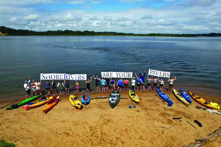
ShoreRivers, the umbrella organization for the Sassafras, Chester, Choptank, and Miles and Wye Riverkeepers, has a mission to protect Maryland’s Eastern Shore waterways through science-based advocacy, restoration, education, and engagement.
When someone doesn’t know the Sassafras, Kelleher tells them, “It’s a really special river off the beaten path a little. It’s a popular vacation river. You can be on the Sassafras on your boat an hour after you leave center city Philadelphia. Not only is it pretty fresh water, there’s also elevation—sandy bluffs 80 to 120 feet along the shore make for a change of scenery. There are sandy beaches, too.”
Water fun (no nettles)
Three popular anchorages lie south of the entrance to the Sassafras, all creeks that fall into the Riverkeeper’s territory: Fairlee Creek, Worton Creek, and Still Pond. We asked Kelleher if Fairlee Creek still lives up to its reputation of having a skinny entrance.
He says, “Fairlee Creek has the trickiest entrance—there’s a beach bar, so there’s always an audience. Go right up the center of the channel.”
On the Sassafras itself, he says, “Money Creek is well protected and not that far upriver. There’s a no-wake zone up by Georgetown that’s a popular raftup spot, and there’s hardly anyone there during the week. There’s nothing that tricky navigation-wise. The no-wake zone is in effect on weekends and holidays and extends to Woodland Creek.”
He continues, “So many people just motor up and down the river, but checking out the 17 tributaries can be really spectacular. There are so many hidden gems, undeveloped shoreline, and wildlife.”
Are there nettles up there? “Typically, no. The past couple of years have been unusual and salinity increased, so three years ago, we saw some nettles, but (we do so) very, very rarely.”
Besides the lotus blossoms Kelleher recommended the Sassafras Boat Docking Contest and River Days August 22 as a fun event (runs from 10:30 a.m. to 4 p.m. in Georgetown).
He notes, “There’s a bunch of great waterfront restaurants, up by Georgetown and Fredericktown. I like the Fish Whistle. They have Wings Wednesday (that’s the day I do my water-quality runs).”
Data informs the work they do
We asked the Riverkeeper a bit about the environmental part of his job: “The water quality monitoring that we do is the foundation of all the other work we do at ShoreRivers. We need that data to inform all of our decisions. We take tidal water quality samples on Wednesdays, covering the general health of the water: dissolved oxygen, salinity, etc. We do bacterial monitoring on Thursdays between Memorial Day and Labor day; we post the data on Fridays so that people can be informed of the risks and can make good decisions about swimming and other water activities.”
Did Kelleher have any good news to share about the river? “I think the best is that we are moving forward; water quality is improving. We like to remind people that there’s something that every single person could be doing to make a positive impact on water quality. Most of what damages the river happens close by… what you do along the waterfront, in your backyard, makes a difference… I would encourage people to become educated. Contact your local riverkeeper. We’re on social media (facebook.com/sassafrasriverkeeper) and post volunteer opportunities. Go to shorerivers.org, too. Take action!”
Find more sailing destinations here.


