41 degrees, abundant sunshine, wind S at 0-5 knots
From time to time as we've sailed into the Chester River, Dobbs has pointed toward Eastern Neck National Wildlife Refuge and mentioned wanting to explore it. Today we finally had the time, the ambition to make the drive (which, for us, is about 2 hours each way), and the perfect weather. I popped James Galway's rendition of Mozart into the CD player and away we went, driving down the Eastern Shore with the road mostly to ourselves.
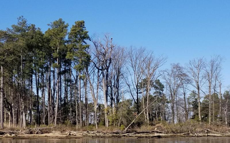
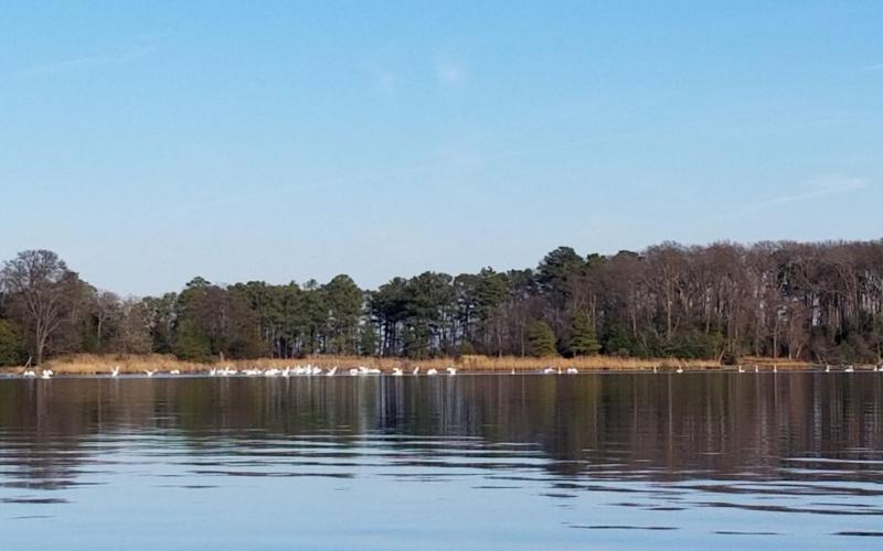
Eastern Neck is an island, so there's a definite moment (besides the Welcome sign) when you know you've arrived: All of the houses and marinas of Rock Hall are in the rear view and before you is a small wooden bridge surrounded in marsh. Beyond the marsh to the west lies the Chesapeake Bay; to the east, the Chester River. Crossing the bridge is like entering a portal to the Chesapeake of 200 years ago - low-lying land ringed in marsh grass and elevated stands of pine forest teeming with wildlife and dotted only sparsley with buildings and roads. The quiet - that is, the absence of man-made noise - is delightful, the air resonating with the calling of ducks, the high-pitched coo of tundra swans, and the honking of geese.
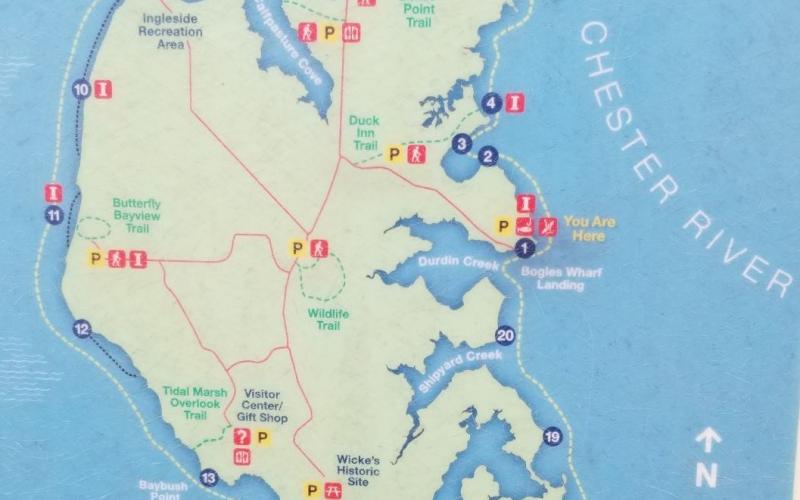
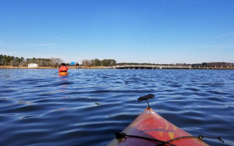
We drove down to Bogle's Wharf to launch our kayaks and begin our journey on the Eastern Neck Island Water Trail. From the sign posted there: "Welcome to the Eastern Neck Island Water Trail. Located at the mouth of the Chester River, the 2,285-acre Eastern Neck Wildlife Refuge is a magnet for bird watchers as it is an important feeding and resting area for migratory and wintering waterfowl. Stretching 10 miles (oops - I assured Dobbs it was only 8...) the Eastern Neck Island Water Trail circles the island and offers experienced paddlers a rich and challenging experience. This route may appear simple, but it includes long stretches of open tidal water. Along the way, you will see abundant wildlife and stunning scenery."
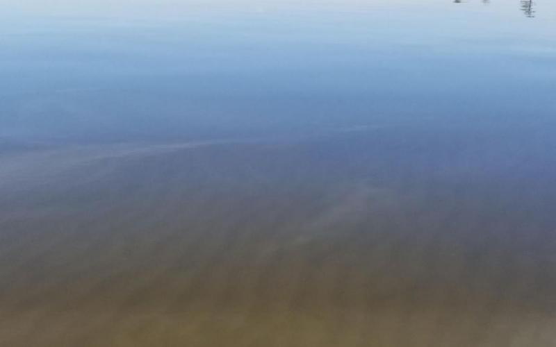
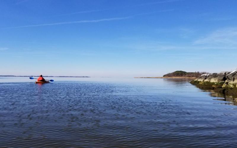
From Bogles Wharf, we departed Durdin Creek and paddled clockwise around the island, passing Shipyard Creek and several small coves before pausing for a floating lunch at Hail Creek. In the clear, shallow water, riffles in the sand stretched out beneath us in all directions. After lunch, we continued west around Cedar Point and Panhandle Point, noting the flood tide pushing against us. The wind was calm and the Bay was still as glass. On and on we went, now more north than west, past Baybush Point and Wickes Point, and finally into the cut that divides the island from the mainland. Every point that we approached offered an opportunity to sneak up on ducks before they'd spot us and scoot or fly away; by "sneak up" I mean about 1/4 mile - any closer and off they go. The challenges we've found with winter waterfowl-watching are that the birds are quite skittish and the low sun angle makes it hard to identify colors. This doesn't stop us from trying! I can't blame the birds for being wary - at this point in the year, they've been shot at for going on 4 months. While Eastern Neck Island may be a refuge, the neighboring shores are not. We saw buffleheads, Canada geese, a pair of loons, ruddy ducks, mallards, goldeneyes, and Tundra Swans; also one lone oldsquaw. We may have also seen pintails, but we couldn't be sure. It was a beautiful day. Eastern Neck Island NWR is well worth a visit.
