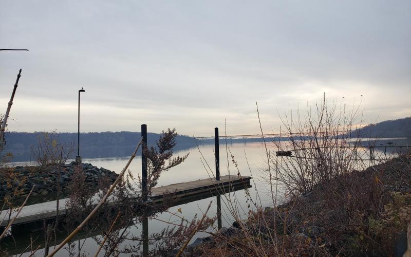
I like to do something special on my birthday, and this year - celebrating 47! - I chose kayaking, even in the rain. I wanted to explore the Susquehanna River between Lapidum Landing and as far north as the outflow from the Conowingo Dam would allow. Dobbs and I share a fascination with historic industry - mills, railroads, canals - and the banks of the Susquehanna are home to all three. Lapidum Landing - on the western shore in Harford County - is now a ghost town, but at one time it was significant as the farthest north deepwater port on the Susquehanna. Just above it lies Smith's Falls. Remains of wharves can be seen lining the bank and a few buildings remain along the old Susquehanna and Tidewater Canal; some locks are still visible, too. A ferry ran between here and Port Deposit before the bridge between Rock Run Mill and Port Deposit (now just crumbling pilings) was completed. By 1900, the sources of Lapidum's commerce and prosperity were lost to railroad competition. On the eastern shore, the Susquehanna Canal (not to be confused with the Susquehanna and Tidewater Canal) ran from Port Deposit to the present site of the Conowingo Dam. Chartered in 1783, it never prospered (it was never finished due to funding issues and the original section was too shallow to be practical) and in 1840 was closed completely. The Columbia & Port Deposit Railroad (soon to become part of the Pennsylvania RR) went through Port Deposit around 1868.
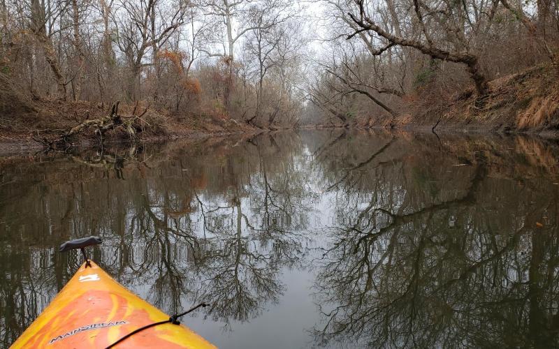
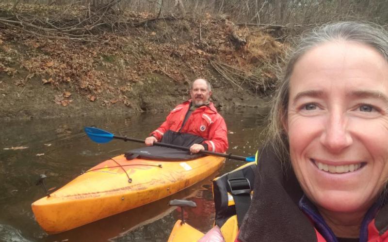
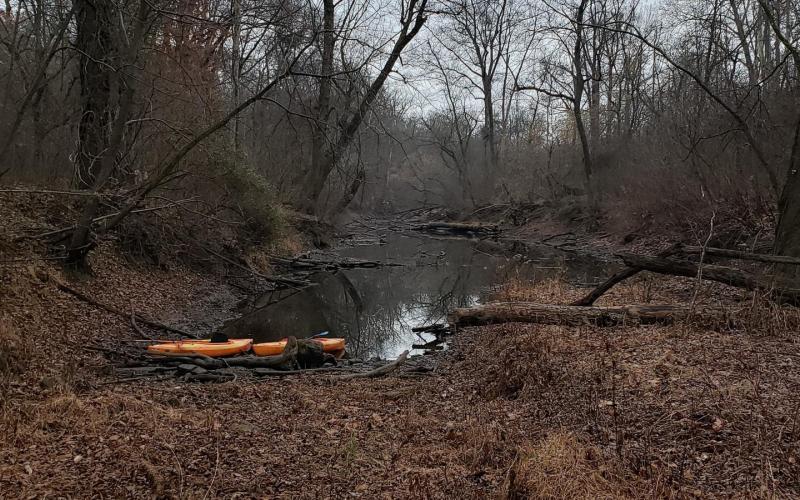
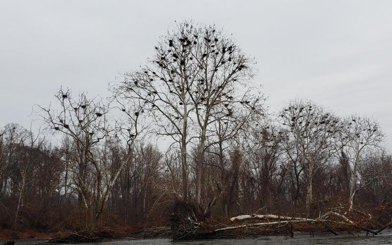
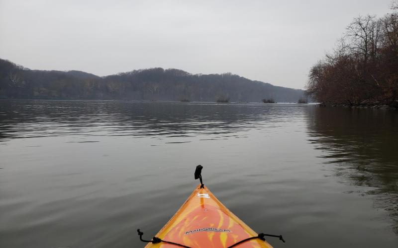
Dobbs and I launched our kayaks at Lapidum Landing and crossed the Susquehanna heading north toward Rock Run Landing. The current pushing us downriver was noticeable but manageable; two large rocks that break the surface made for a nice stopping place mid-way. There's an abandoned brick building adjacent to Rock Run that appears to be a 20th century power plant. We continued north, passing to the east of Steel Island, the current building as we entered Smiths Falls. From here to the entrance to the canal south of Sterret Island, the going was tough - every paddle stroke hard and fast in order to make headway. While it was December outside, it got mighty hot and humid inside my life preserver and foul-weather gear. Inside the canal, our respite was short-lived as we found the north half this section collapsed into rocky falls. Carefully clambering while dragging our kayaks astern, we hiked the rest of the way to the river. Next up was another push north to get into the section of canal by the Union Hotel. With effort, we made it and paddled until the canal shallowed out into mud and deadfall. Another portage might have seen us clear up to Octoraro Creek, but we were out of time (and tired). Instead, we pointed our bows south and exited the canal the way we'd come. We crossed the river to follow the western shore, noting the roar of the rapids and enjoying a little gentle whitewater kayaking. As we were cutting to go between Robert Island and Wood Island, we spotted the trestle bridge over Deer Creek - a landmark. We could give it only a moment's attention as we threaded through rapids to get close to the little island that hosts a great blue heron rookery. A quick drift downstream and it was time to behold the old bridge pilings. We cut back to the western shore north of Snake Island and followed the bank back to Lapidum Landing.
