Century Club: Suzanne Fryberger
Thursday, April 28, 2022 to Wednesday, May 4, 2022
Number of days:
7 days
4/28 - Elizabeth City to South Mills Lock
4/29 - Dismal Swamp Canal Picnic Dock
4/30 - Hampton, VA
5/1 - Prentice Creek
5/2 - Solomons
5/3 - Rock Hall
5/4 - North East, MD
Thursday, April 21, 2022 to Tuesday, April 26, 2022
Number of days:
6 days
 Pipeline Canal
 Sugarloaf Dune - Carolina Beach State Park
 Masonboro Inlet
 Sailing North
 Sunset at Sea
 Oriental, NC
 Having Fun in Elizabeth City
Friday, April 8, 2022 to Wednesday, April 20, 2022
Number of days:
13 days
Monday, February 28, 2022 to Monday, March 7, 2022
Number of days:
9 days
Thursday, February 24, 2022 to Friday, February 25, 2022
Number of days:
2 days
Friday, February 18, 2022
Number of days:
1 day
Saturday, February 12, 2022
Number of days:
1 day
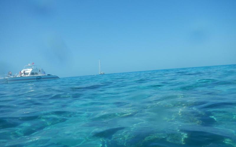
 Western Sambo Reef
Friday, February 11, 2022
Number of days:
1 day