Century Club: Suzanne Fryberger

Saturday, August 29, 2026 to Sunday, August 30, 2026
Number of days:
2 days
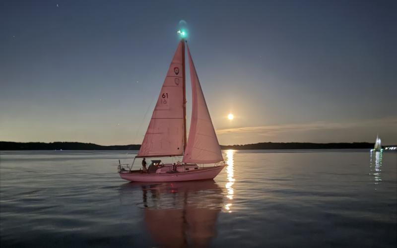
  • Rendezvous off Turkey Point at sunset
  • The first leg
  • Moonrise during the second leg
  • 60 years old and Grace can still win!

3 Good Things: Sailing at night under a full moon.  Sailing in the company of other skilled sailors.  Sailing.  Period.

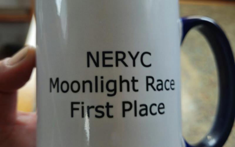
Beautiful evening, very light wind, race committee did a great job.  A shout-out "Thank you!" to Stephanie Wagner for her professionalism as principal race officer.  NERYC provided free dockage and a delicious breakfast.

Thursday, August 27, 2026
Number of days:
2 days
  • Morning in Mill Creek off Worton Creek
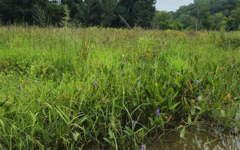
  • Tockwogh and cattails
  • Nature's garden - marsh mallow, ironweed, cardinal flower

Grace departed Havre de Grace in the morning, heading for Worton Creek, for a night at anchor.  A south wind at 15-20kts and a strong outgoing tide kept us moving right along as we tacked.  At 10am and again at 3pm, thunderstorms cropped up to the west, and both times they passed to the northwest, following the heat corridor of I-95.  Thunder boomed and a bolt of lightning reached down toward Aberdeen, but we were only briefly spattered by rain.  

We anchored near Worton Creek Marina and dove over the side to cool off.  The brackish creek water felt soft and refreshing.  Later, I made cheeseburgers and potato salad for dinner.  The evenings are still warm, made warmer by cooking, so we took one last dip to cool off before retiring.

Come morning, I felt grateful for a quiet night where the crickets made the only sound, then waking to the hoot of a barred owl and the crowing of a rooster.  We had nowhere to be, so I went rowing in our dinghy Agility, up Mill Creek - a favorite gunkhole.  Early in, I inadvertantly startled two wild turkeys roosting in a tree.  I didn't know they were there until they rustled to the ground in a hail of twigs and acorns.  They eyed me warily as I rowed on.  Where the creek narrows, a mass of phragmites grows.  I'm not a lover of phragmites, but on this day, they stood tall against a cotton cloud-dotted blue sky, their purple-hued seed tufts almost glowing in the morning sun, and I couldn't help but admire them.  I appreciated the sight of tockwogh growing wild at the water's edge and cardinal flower on the banks.  A kingfisher burst forth at a distance, letting me know I was trespassing in his realm.  Farther on, a flock of red-winged blackbirds that were settled low in the marsh took wing to higher perches in the phragmites.  Like the turkeys, they could have stayed - I hadn't seen them, nor a deer that bounded off.  My row ends where a fallen tree blocks passage.  It's been here for at least 12 years, and I wonder, will it outlast me?  Or will I round the bend one day to find it collapsed and the way clear to nose father upstream?  Incentive enough to live a long, healthy life.

Tuesday, August 25, 2026
Number of days:
1 day
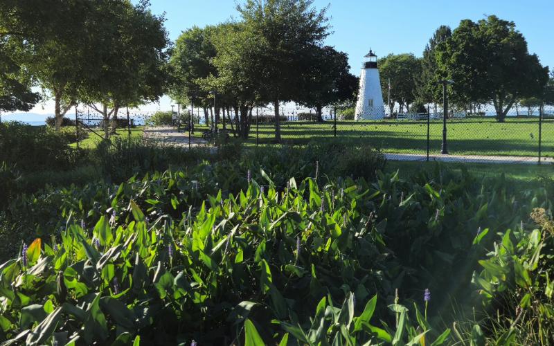
  • Concord Point Lighthouse

A west wind brought cooling dry air to the headwaters of the Chesapeake. Much to our delight, the wind angle was perfect for a speedy reach from Tidewater south to Fishing Battery Island and back.

Friday, August 21, 2026
Number of days:
1 day
  • Anchored on the Susquehanna Flats
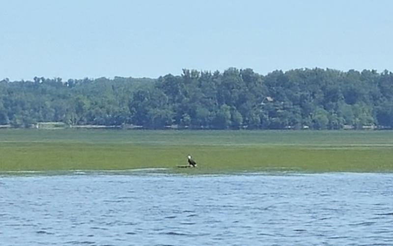
  • A Bald Eagle, standing on a grounded log
  • With no underwater camera, this is the best I can do - 6' of water.

This is my first day of 2026 on my own boat, on the water, for enjoyment.  Dobbs and I have worked so hard to get here.  Ten months ago, we pretty much put on "boat blinders" and focused our attention on our 76 year-old cottage (as compared to our 60 year-old boat).  Structural repairs, additional insulation, new siding, and new windows and doors - we did it all, just the two of us.  Now, we're eager to go adventuring.

Today I wanted to visit an old friend: the Susquehanna Flats.  Back in 2004, we moved into the aforementioned cottage at Red Point and started sailing Sunfish off the beach.  Dobbs and I share a fond memory of ambitiously attempting to sail to Fishing Battery Island, drifting when the wind died, and walking most of the way back home across the Flats, towing our boats like toys.  We remember a vast expanse of sandy bottom and little in the way of "weeds" - an easy, if long and hot, walk.  A couple years later, we sailed a 22' centerboarder in from the south and were wowed by a verdant meadow of bright green grass and clear water.  At some point after that, we started going about every two years, kayaking or dinghy sailing in from the North East River toting masks and fins.  Two and a half miles west of Red Point Beach, submerged aquatic vegetation (SAV) appears and the water becomes remarkably clear.  The Susquehanna Flats are an ongoing success story in SAV recovery.  

Here's a link to a simple yet informative graph of how the SAV has changed over time: Chesapeake Bay Program: SAV Acres and Density - Susquehanna Flats

With our 1966 Columbia 31' sailboat Grace now berthed in Havre de Grace, we'd be approaching from the west instead.  Grace draws only 3' with the centerboard up, which makes her a perfect platform for shallow water exploration.  Low tide was at noon, so if we did touch bottom, time would see us off.  After clearing the marina and hoisting sail, we wafted on a light breeze toward the Flats.  If you look at a chart, you'll see two large grass beds divided by a shallow channel.  I wanted to anchor close to that channel.  Standing on the cabin top for the best view and looking east, a "lawn" of surface floating vegetation beckoned.  I watched the water color change from dark olive to lighter olive, then slowly lose its opacity until I was looking at fronds of weed and patches of orangey-gold sandy bottom.  When the depth gauge read 6, we dropped anchor.

Dobbs put up the awning and we ate lunch in the cockpit, watching an eagle hunt from a grounded log.  In time, we took turns descending the boarding ladder, immersing ourselves in the 80-degree water.  Truth be told, it still felt chilly!  We donned fins and masks and began to look around.  The water clarity was the best I've seen on this western side - about 6' of good visibility.  A variety of aquatic plants grew in dense patches - lush, not choked - and were relatively free of heavy sediment, algae, and bacteria.  I spotted minnows and shiners, two bluegills, and a crab; meanwhile, Dobbs was discovering a sizeable blue catfish.  Empty freshwater clam and mussel shells flecked the sandy bottom.  An hour passed quickly and, while we would have liked to keep exploring, chills drove us back aboard Grace to bask in the sun.  

Further your understanding:

Life on the Susquehanna Flats - Chesapeake Quarterly, June 2026 • Volume 25 Number 1

EPA - Underwater Grass Comeback Helps Chesapeake Bay

The Comeback at the Head of the Bay: How the Susquehanna Flats Became the Reference Case

By Lowering the Nutrients, the Susquehanna Flats SAV Bed Enhanced Its Own Recovery

Monday, August 17, 2026
Number of days:
1 day
  • Grace's Launch Day
  • Happy to be on the water again.

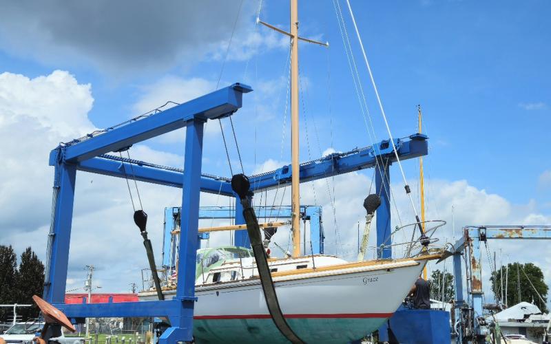
10 boat yard days (and more) went to hull repairs, scrubbing and waxing, and finessing teak.  Grace was launched today.  Hooray!  I breathed a huge sigh of relief at having the hull supported by water again, and not blocks and stands.  More relief than I was aware of, in fact.  As Dobbs motored us out the fairway and into the Susquehanna, I was overwhelmed with how "right" I felt.  How is it that as Grace moves over the waves, I feel more grounded than I have in months?  There's still work to be done before we head out for our Fall cruise, though, so we reluctantly returned to a slip for the next week or so.

Saturday, January 31, 2026
Number of days:
1 day
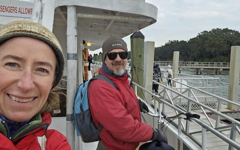
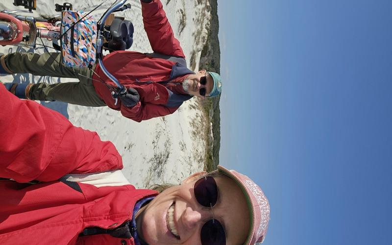
  • Dobbs and me aboard the ferry
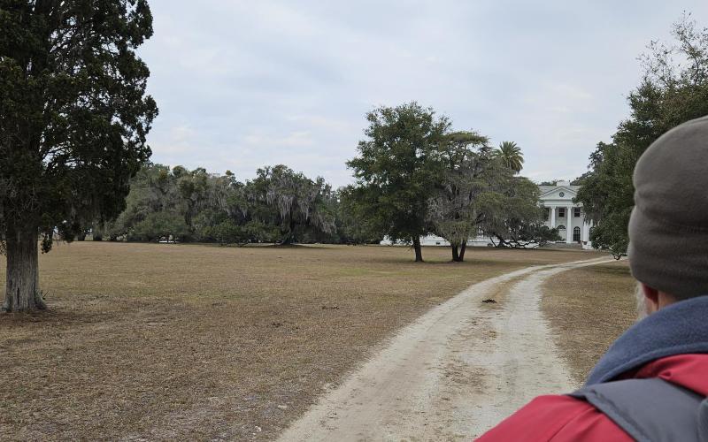
  • Approaching Plum Orchard
  • Crossing the dunes
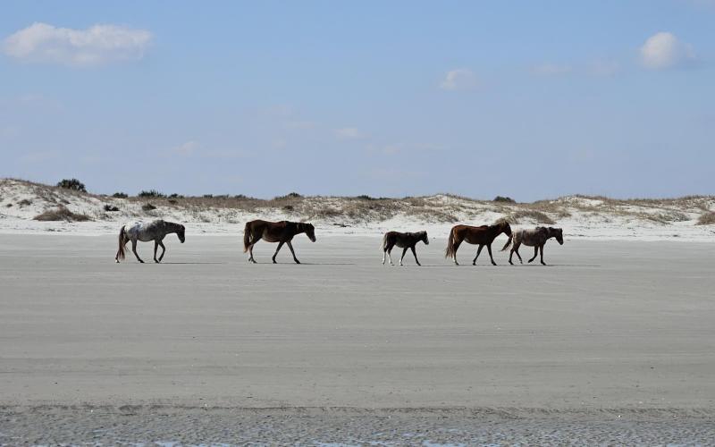
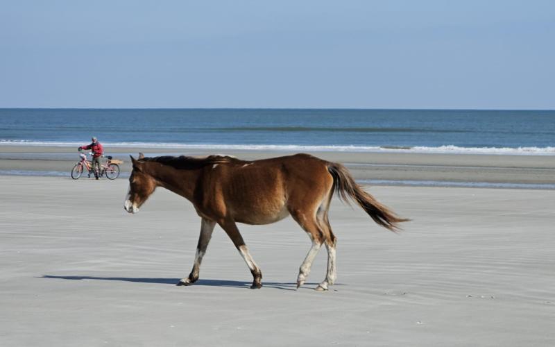
  • Wild horses
  • Dobbs with our bicyle, in the background
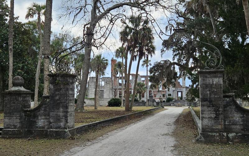
  • Dungeness, from the gate
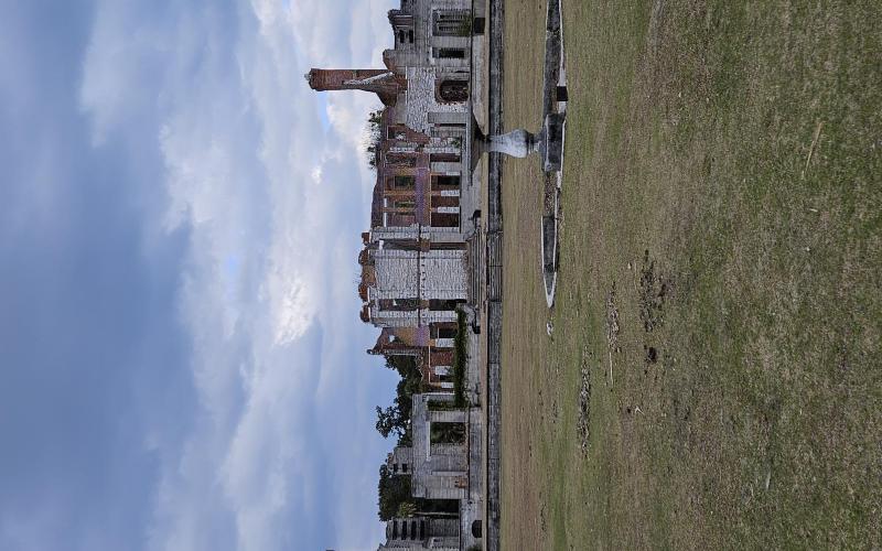
  • Dungeness, from the lawn

Cumberland Island:  Two faces - one, a vast expanse of sand stretching to the ocean; the other, a verdant and gnarled woodland. 

On a rare road trip to Florida this year - my typical ride being a 1966 Columbia 31 sailboat - I knew it wouldn't feel right to drive on by.  It's one of my favorite places - remote, wild, and quiet.  Thankfully, you don't need your own boat to visit there.  A ferry that runs out of St. Mary's, GA offers round-trip rides for people and bicycles.  It takes about 45 minutes each way.

Dobbs and I were camping nearby at Crooked River State Park.  We arrived at the Mainland Visitor Center Dock at 8am as requested, an hour before our scheduled departure.  We needed to collect tickets, load our tandem bicycle, and be standing by with the group awaiting the ferry.  The morning was chilly, but the sky was clear and the sun shone brightly.  The day promised to warm up a bit, but a major winter storm was quickly approaching, a gale and rapidly falling temperatures forecast to lead the way.  Each of us knew that sometime during the afternoon the weather would change dramatically.  To Dobbs and my amazement, no one was deterred.  In fact, there were people tent-camping out there!  And we thought we'd be the crazies - proof that we were in good company. 

After a welcome and announcements from a park ranger, we boarded the Cumberland Queen.  Liveaboards and cruisers were anchored off of St. Mary's, out in the river, and it felt strange to be looking out at the boats from the land-based side of things.  It also felt strange to not have a role to play on the vessel - it's rare for Dobbs or me to be on a boat and not be captain or crew.  Our minds ran to what we would be doing, and then relaxed and enjoyed the ride.

A steel ferry outweighs our Columbia 31 by a magnitude, and thusly chop that would bounce Grace around and slow her down is imperceptible on the ferry.  Dobbs and I actually like feeling the boat move (to a point) - I guess that's the dinghy sailor in both of us.  

Before long, we were turning the corner north into Cumberland Sound.  Dobbs spotted the brick chimneys of Dungeness sticking up above the live oaks and palmettos.  We felt excited to be returning, this time with our bicycle.  What would it be like?

The ferry landed and we disembarked.  Again, the strangeness - no dinghy to tie up or carry above the high tide line, no yacht to gaze out upon, checking to see that she's riding okay.  Nothing to do but hop on the bicycle and start riding.  

We decided to head up to Plum Orchard first.  We know that the sandy roads get fluffier going south to north, so we figured we'd start with the most challenging riding.  It felt completely different to be on a bicycle, clicking off the miles, versus walking - we were traversing sections of road we'd not been able to access previously due to distance.  Yet a bicycle (when not pedaled furiously) still moves slowly enough to sight-see.  In the stoker position, I get to bird-watch, having no responsibility for keeping my eyes on the road.  Dobbs, as captain, gets first glimpse of everything in front of us (the road, horses, pigs, mansions), whereas my view is of the back of him.  Riding on shifting sand is a practice of trust and coordination.

Upon arrival at Plum Orchard, we greeted the rangers and used the facilities but elected not to tour the mansion since we'd done that at least twice before.  This would leave us more time for new experiences, like riding on the beach.  The rangers highly recommended this.  In the island's heyday as a winter residence for the Carnegies, people built wheeled tripod carts with sailing rigs and raced them on the beach.  When the tide is out, the sand packs down hard.  What do you know?  It was low tide.

The challenge is getting the bicycle to the beach.  Cumberland Island has a mature dune system - large, substantial, and about 1/4-mile wide.  A series of secondary, primary, and fore- dunes rise between wooded trail and beach.  The park service has constructed boardwalks to protect the fragile primary and secondary ridges from human traffic, but they end shy of the foredunes.  Our bicycle weighs 65lbs and, even with 2" wide tires, there's no pedaling it through deep sand.  We push and carry and struggle, trying not to fall over.  It's worth it - the beach stretches before us out to the Atlantic, and the Atlantic to the horizon.  The wind has yet to arrive.  We mount up and pedal, flying along the strand.  Dobbs playfully steers us toward the surf, then away, then back again.  As we ride south, a herd of wild horses walks north, their manes and tails blowing in the breeze.  They pay us little mind.  We revel in the unlikeliness of it all - riding our big pink bike on the beach on an island in Georgia.  We are fortunate.  And grateful.

...also attentive.  The breeze that was rustling the horses' hair is beginning to build.  We really want to ride all the way to the jetty at the south end of the island to explore the tide pools that form around the rocks, but that will put the wind in our faces heading back.  We know what's coming.  We surprise ourselves and actually do the prudent thing and turn around.  That's experience for you!  We know what foolishness looks like.  We stumble back over the dunes and ride to Dungeness, the winter retreat of Lucy Carnegie, now in ruins.

The sky broods overhead and the air is cooling fast.  Dungeness must have been something - a wonder - in its day, because it's still breath-taking in its broken, skeletal state.  

When we return to the ferry dock, we find people sheltering in the island's Visitors Center, which is heated.  It's blowing stink and the ferry is churning and groaning at the dock - it's a lee shore.  We feel for the captain and crew.  Thank goodness for horsepower!  As we're boarding, snow is falling.  It's freezing.  Rather than stay on deck as we did on the trip over, we choose the cabin passage.  This time, I don't mind not being on Grace, nor do I mind not being anchored out.

Saturday, January 24, 2026 to Sunday, January 25, 2026
Number of days:
2 days
  • Left to right: Jeff, Dobbs, and me
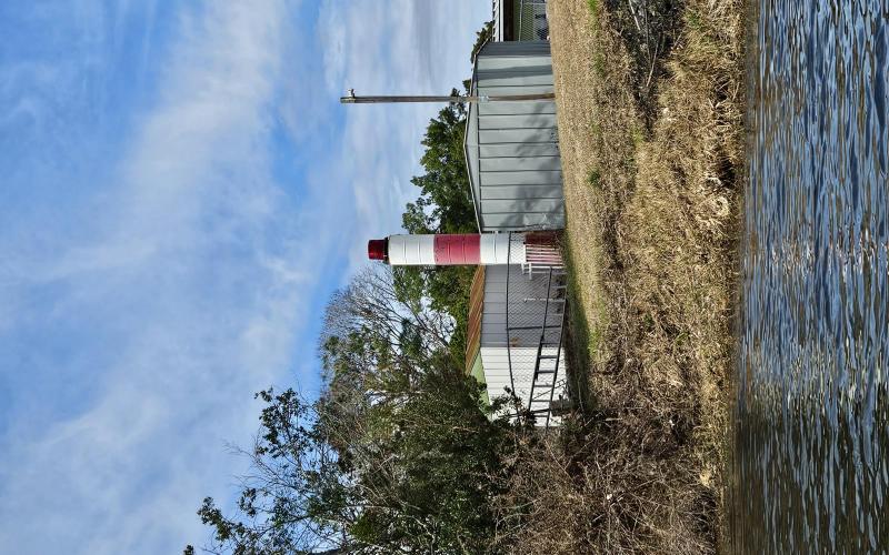
  • Creative use of 55-gallon drums!

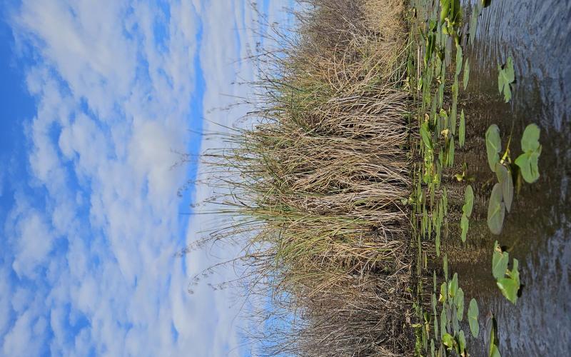
The water level in the Tsala Apopka Chain of Lakes is low.  This area of north-central Florida received significantly below-average rainfall (12" less) in 2025 and there's no end in sight.  Airboats sit idle on trailers, pontoon boats rest listing on the banks.  Heck, I'm in a kayak and there's not enough water to float me beyond the man-made canals.  The weather has been so dry for so long that the aquifer has been depleted, which means that it must be replenished before any surface water will show lasting gains.

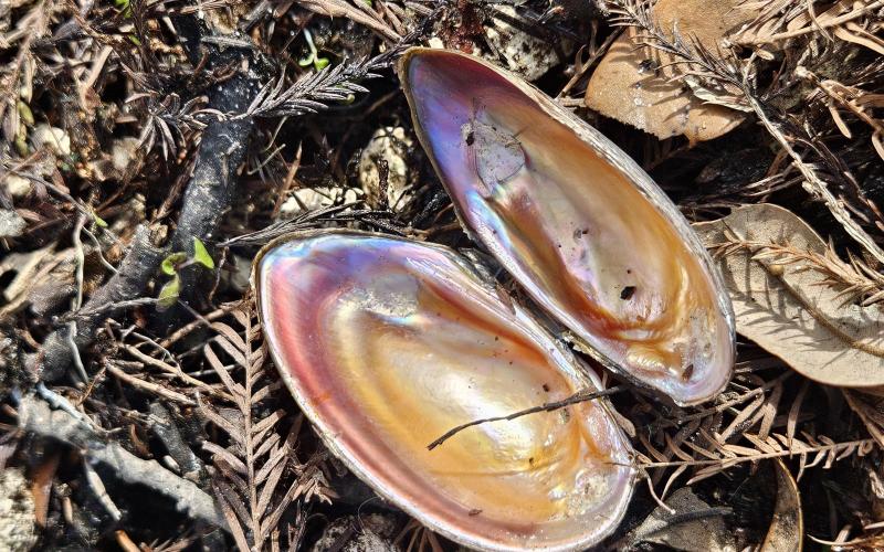
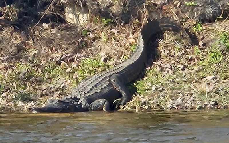
We - Dobbs, my brother Jeff, and I - paddle where we can, around small islands of cypress trees and out to the edge of the sawgrass marsh where the water thins to mud.  We catch an otter off-guard and are afforded a look at its whole streamlined body as it nimbly slinks across a mud flat and into the canal.  Turtles rise to the surface, then quickly duck under upon spying us.  We're able to distinguish the soft-shell turtles, even at a distance, thanks to their elongated snorkel-like noses.  There are alligators, including one sizeable example basking on a bank.  I give it a wiiiiide berth and keep a wary eye on it to make sure it stays put.  Confined in our constructed puddle, we find new things to appreciate: the neighbors' back yards - each family's unique style of landscaping and adorning their little slice of paradise; had anyone noticed that lighthouse made of 55-gallon drums before? how pretty the shells are that lay discarded along the shoreline.  Two limpkins insist on shrieking at each other, though they're mere feet apart.  Egrets, ibis, and herons are common sights, as are woodpeckers.  One morning, not while kayaking, I get a good view of an owl, first perched on a low branch, and then alighting to fly up the side yard.

My restlessness at being frozen out of boating on the Upper Chesapeake is suddenly tempered by perspective and empathy.  These folks are looking at 6 months, a year, maybe more, until they can explore their local waterways once again.

Thursday, January 22, 2026
Number of days:
1 day
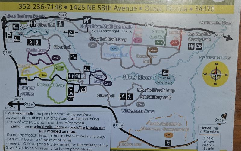
  • Map of Silver Springs State Park
  • Map of the headwaters area
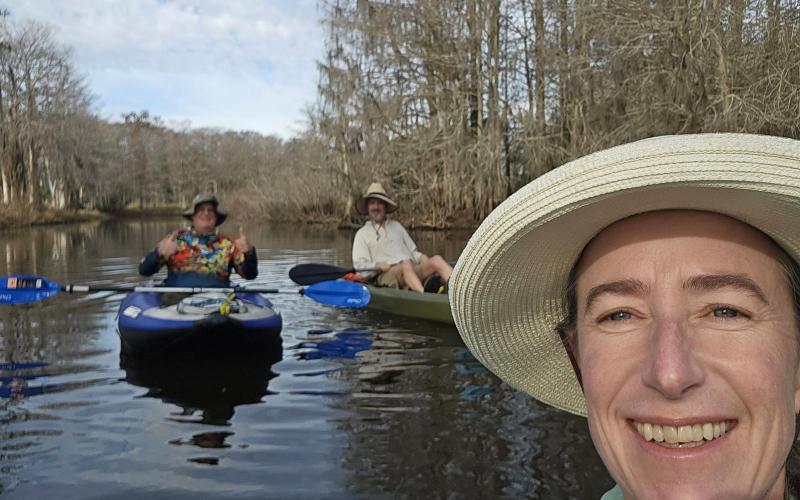
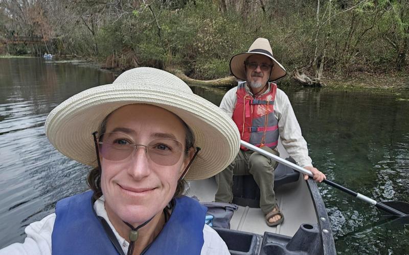
  • It's been more than 20 years since either of us was in a canoe!
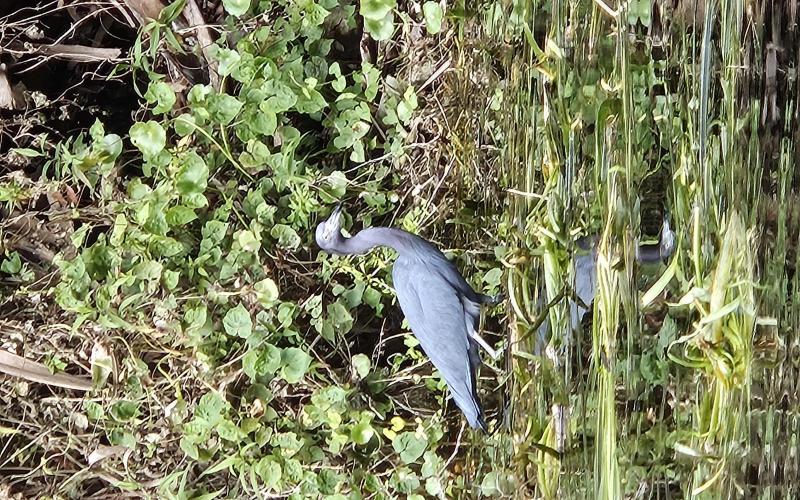
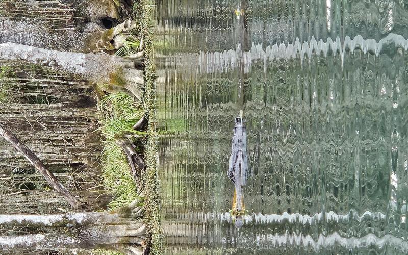
  • Little Blue Heron
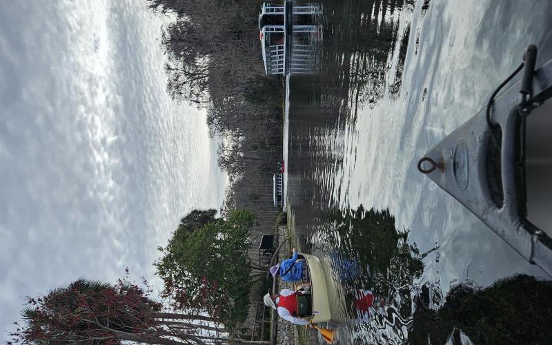
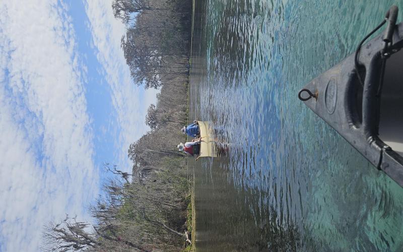
  • James and Kristen lead the way downstream past glass-bottomed boats.
  • Gator!
  • Manatees
  • The colors!
  • Serenity
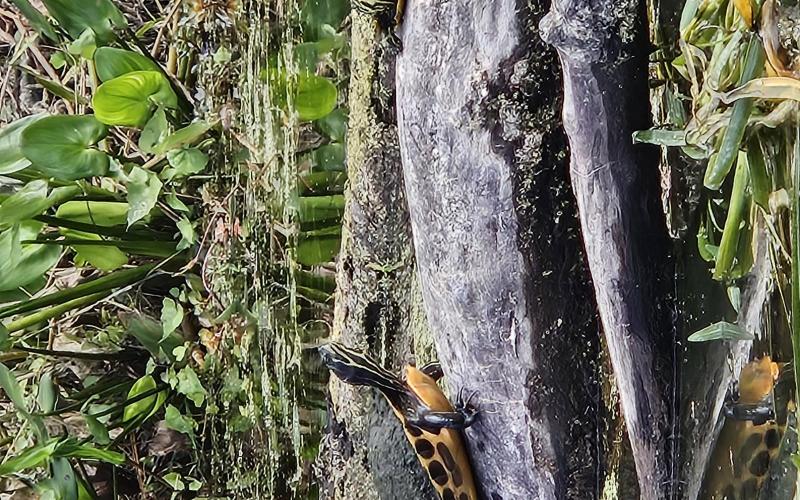
  • Turtles
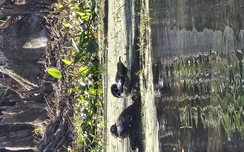
  • Wood duck pair
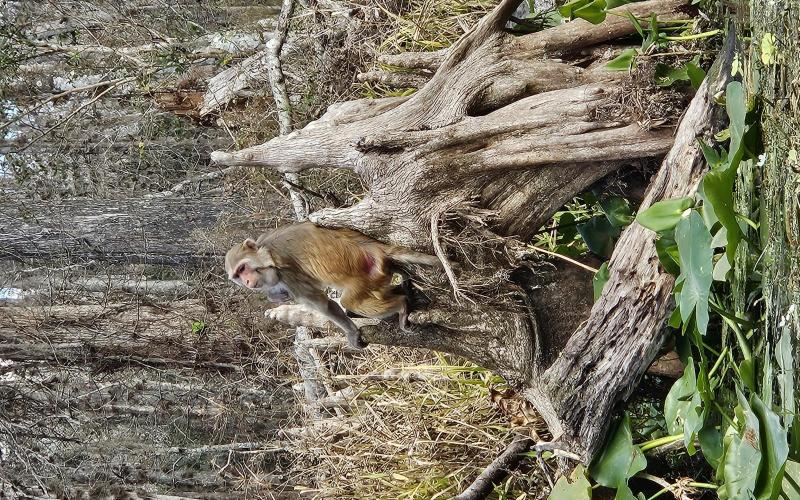
  • Rhesus macaque, one of the larger ones
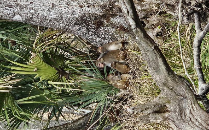
  • Youngsters pesting mom to nurse and grooming her.

Before I looked up Silver Springs State Park, I didn't know that the plains of north-central Florida are home to a freshwater spring that flows in a river, ultimately to the Atlantic.  I was about to leave on a road trip south to visit family in Inverness when I learned that friends - Kristen and James - had landed a camp host position at the park campground.  I quickly rearranged our itinerary to add a stay there, thanks to them sharing their campsite with us, as the popular campground was sold out.
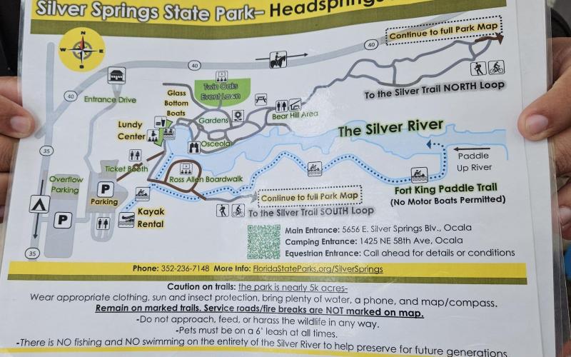
They suggested a canoe trip down the Silver River, starting at the headwaters - a basin within the park where Mammoth Spring vents from a crack in the bedrock about 20' below the water's surface.  This spring produces over 550 million gallons of crystal-clear water daily, resulting in a steady 3-5mph current that will carry even the laziest of paddlers the five miles downstream to a take-out.  With most of the day still ahead of us, that meant ample time for satisfying our amateur naturalist curiosities.
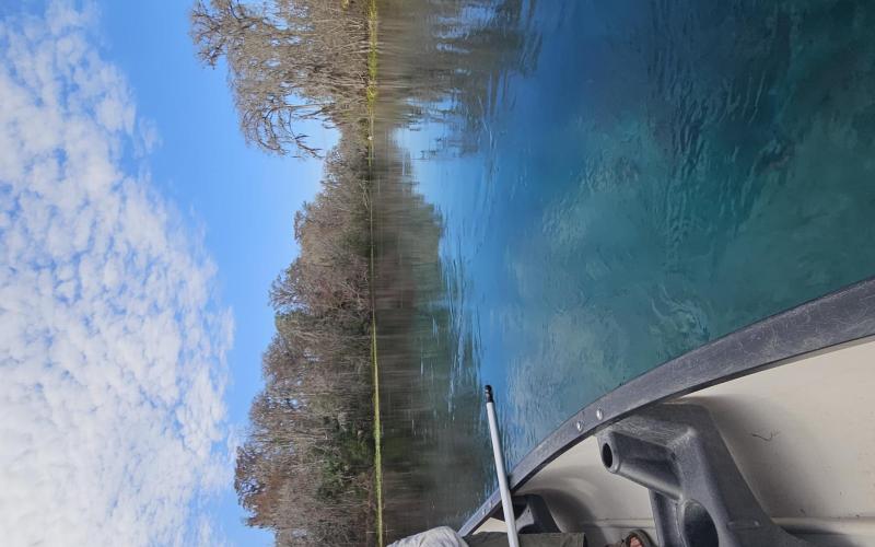
I was immediately wowed by the brilliant swimming-pool-blue water color (honestly, I had to keep reminding myself it wasn't fake), which is due to the sand and limestone bottom.  Lush green SAV (submerged aquatic vegetation) contributes to the effect.  There were manatees everywhere, which, Kristen pointed out, is especially significant because they have to pass through Buckman Lock to get here.  The environmentally near-disastrous, never completed Cross Florida Barge Canal, of which Buckman Lock is part, is a story on its own. 
In winter, the Silver River is a vital warm-water (72-degrees) refuge for over a hundred manatees.  Also alligators.  I have big reservations about being in a small boat in close quarters with toothy reptilian predators, but everything else was so amazing that I allowed myself to be swept along, cautiously avoiding them.  Fish of all sizes swam beneath our canoe, darting away the moment we moved in for a closer look.  Peering into the depths, I was mesmerized by blades of eelgrass swaying in the current.  The bottom and sides of the river are nearly carpeted in SAV, except for bare patches of sand that reflect that unbelievably blue-green hue.

We poked in nooks off to the edges and found wood ducks and limpkins.  I learned later that the wild loud shrieks we were hearing were limpkins.  Anhingas, herons, egrets, and ibis dotted the banks.  Occasionally we'd spot a grebe or a couple gallinules.  Then - my favorite - monkeys.  I didn't even know they were here until Kristen mentioned it.  Released in the 1930's by a tour boat operator to boost rides on his "jungle cruise", six rhesus macaques quickly naturalized and reproduced, and their numbers are now in the hundreds.  They're not native and they can carry herpes B, making their presence here controversial.  That being said, they are extremely fascinating to watch.

As we neared our journey's end, James guided us beyond the take-out a short distance, to show us the river's confluence with the Ocklawaha.  The color change from cyan to to muddy brown was so abrupt as to suggest a wall between the two.  The Silver River - five miles of gem-toned beauty tucked into the sand hills of north-central Florida.  

Also, a day on the water, with friends...in January!

Friday, October 10, 2025 to Monday, October 27, 2025
Number of days:
14 days
Friday, September 26, 2025 to Sunday, September 28, 2025
Number of days:
3 days

Pages