Century Club: Mick Meckler

Wednesday, March 9, 2022 to Tuesday, March 15, 2022
Number of days:
5 days
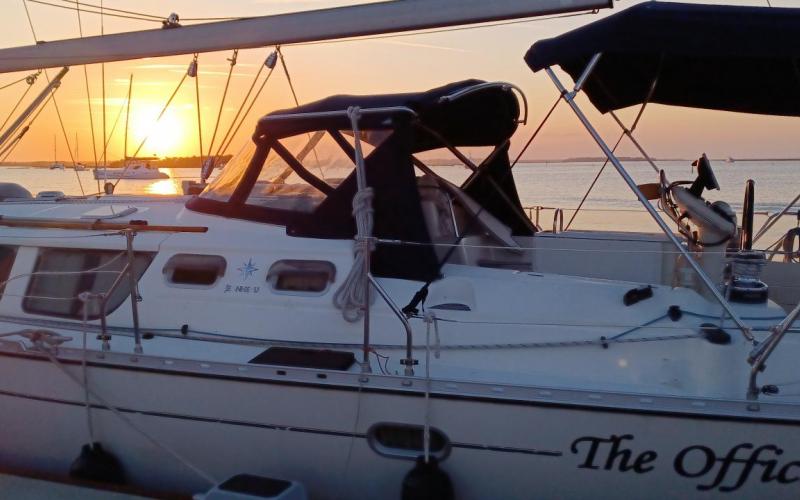
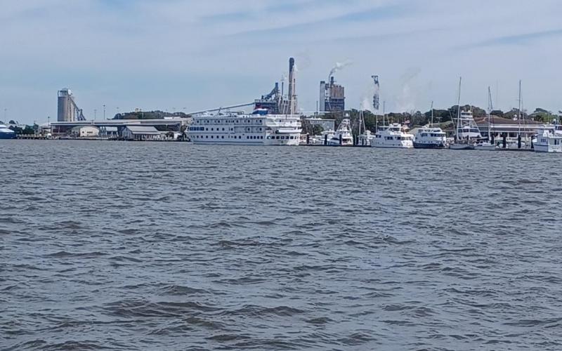
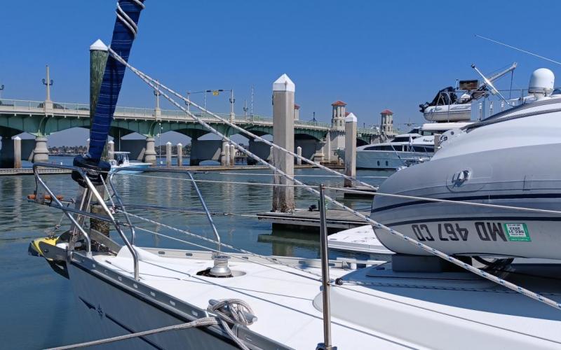
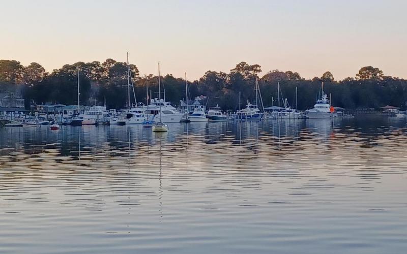
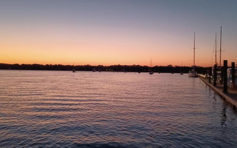
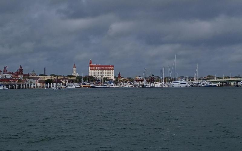
  • Leaving St Augustine Marina. Wonderful place.
  • Arrival to Marineland - walking over to the beach.
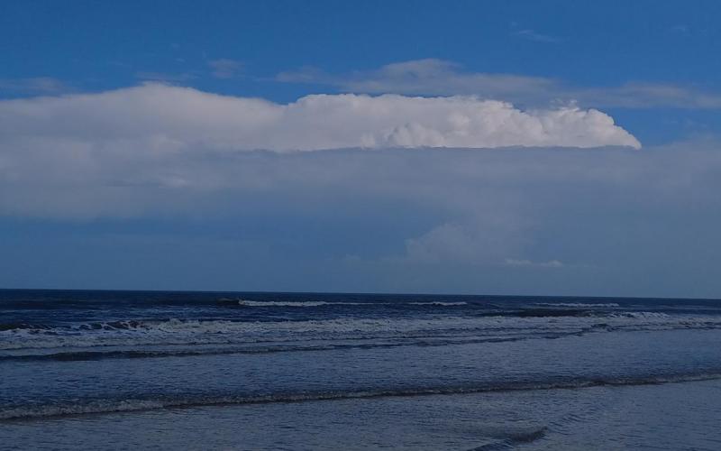
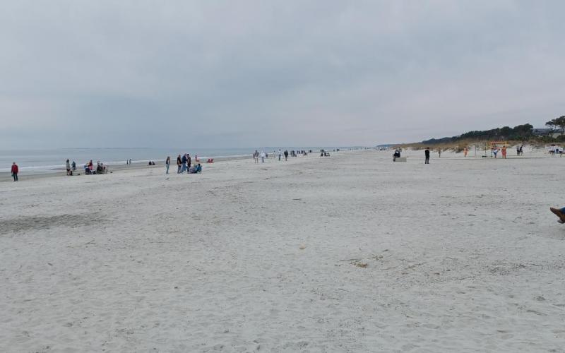
  • Beach view at Marineland FL.
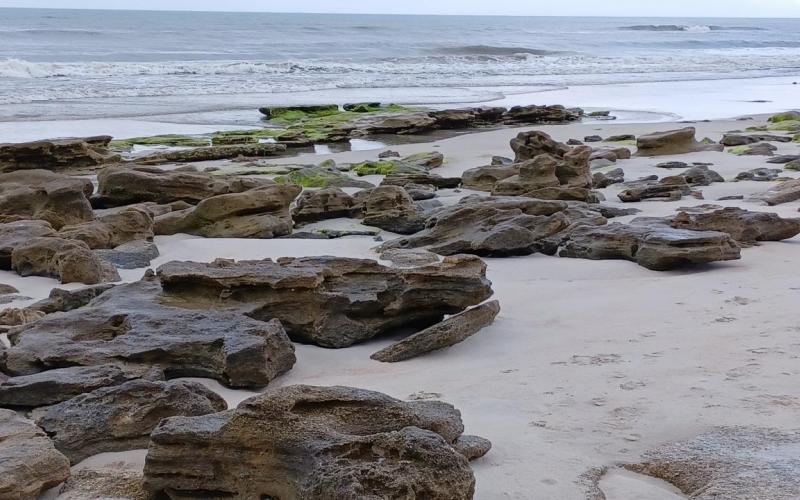
  • Unique beach with coquina rocks. These are underwater at high tide. Don't want to swim here.
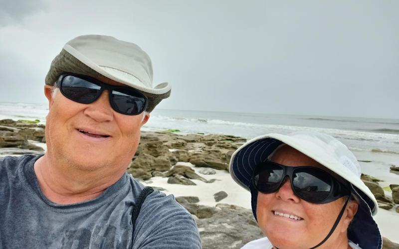
  • Selfie with coquina rocks in background.
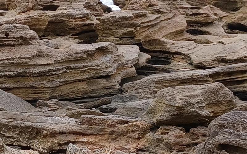
  • More coquina rocks on beach. Imagine when the water covers them?
  • Leaving Marineland Marina.
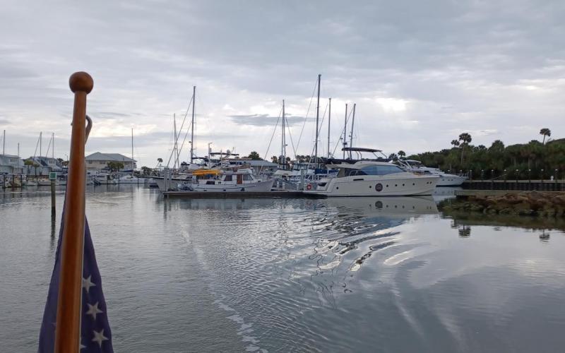
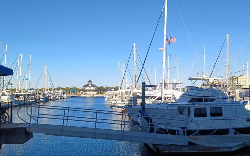
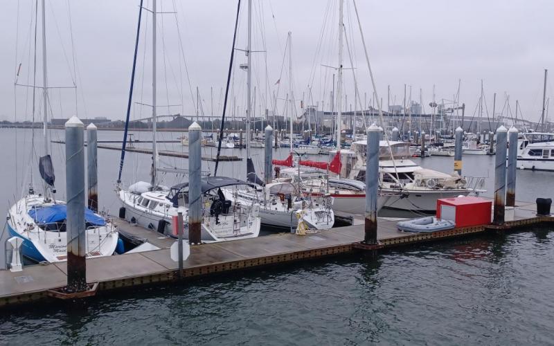
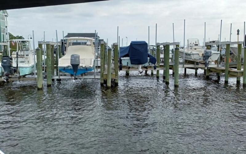
  • Halifax Marina in Daytona Beach. A very nice marina.
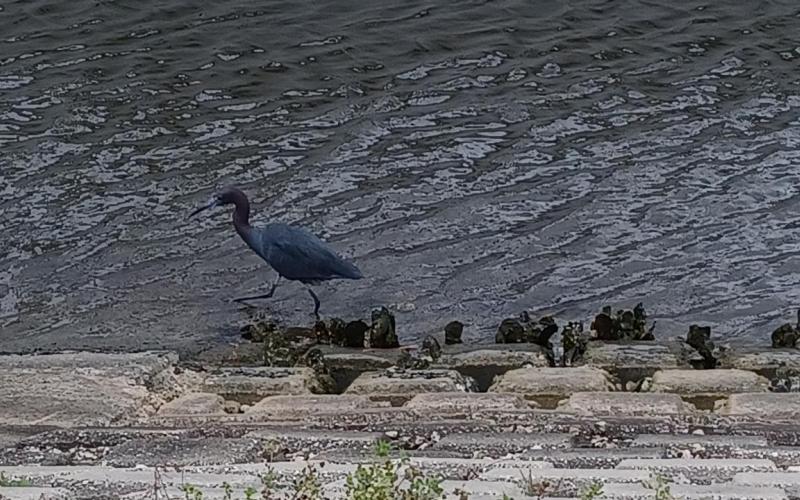
  • Little Blue Heron looking for something to eat in the marina.
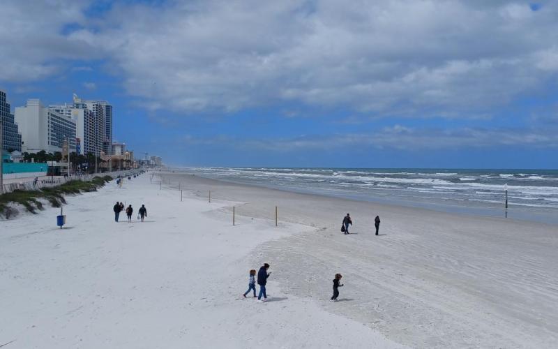
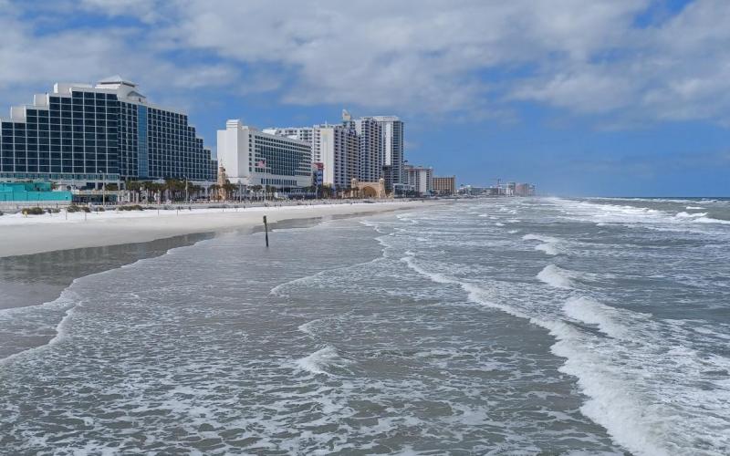
  • We took a ride over to Daytona Beach on a very windy day.
  • Another view of the beach.
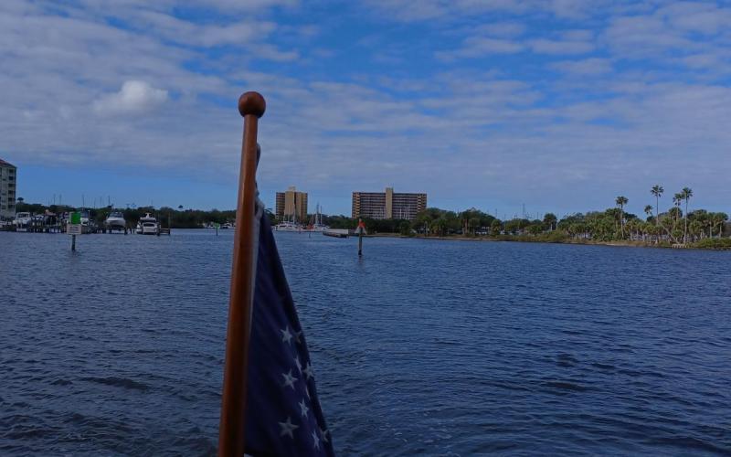
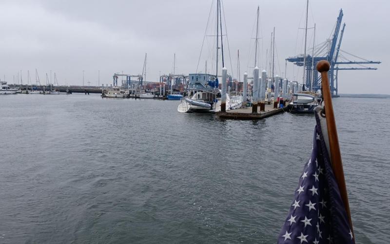
  • Heading out of Halifax Marina.
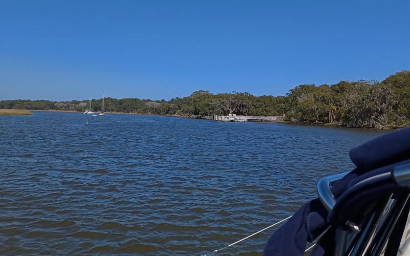
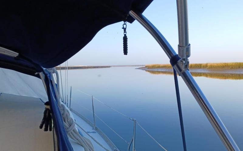
  • At anchor in Mosquito Lagoon. Very windy so no bugs!
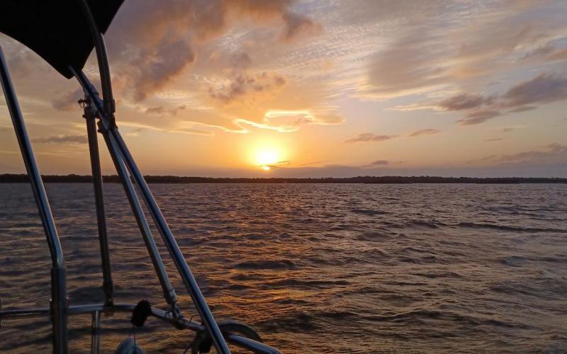
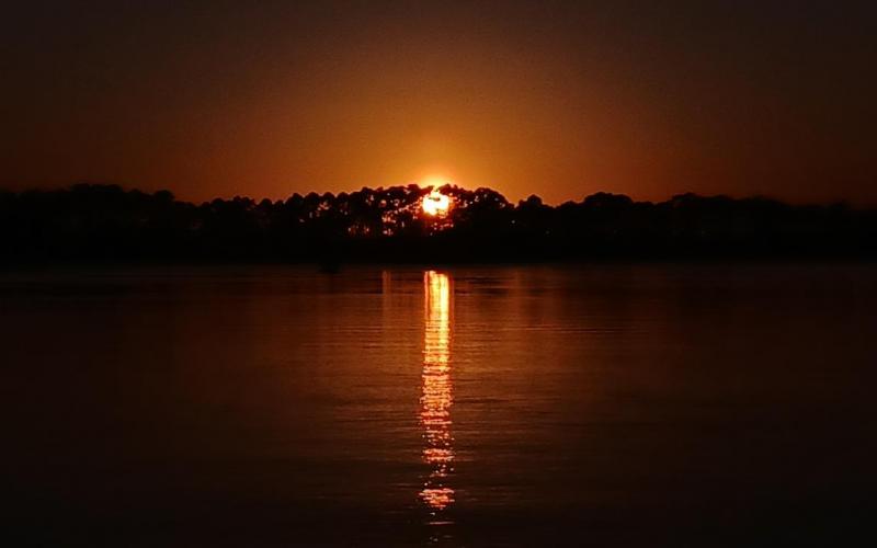
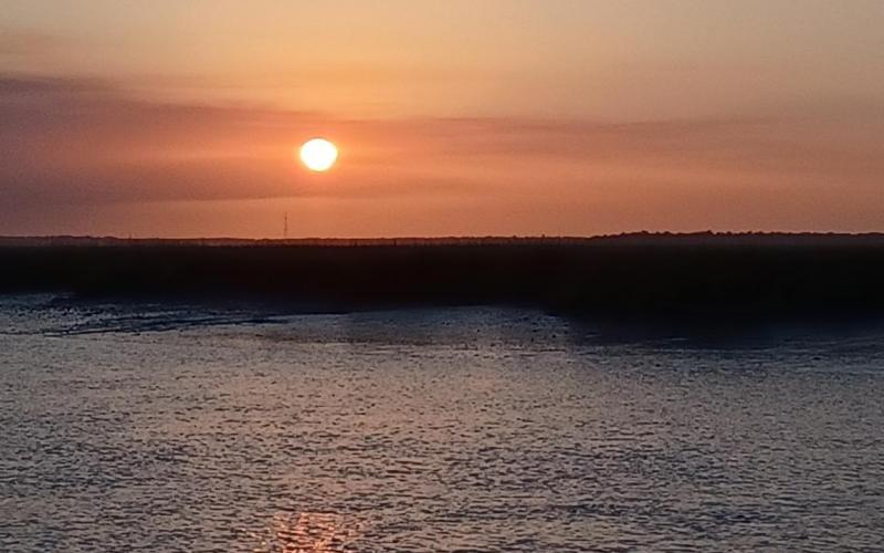
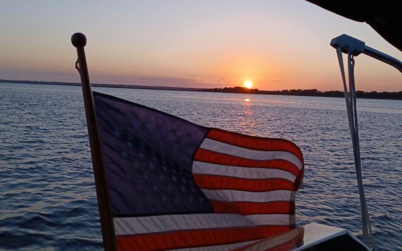
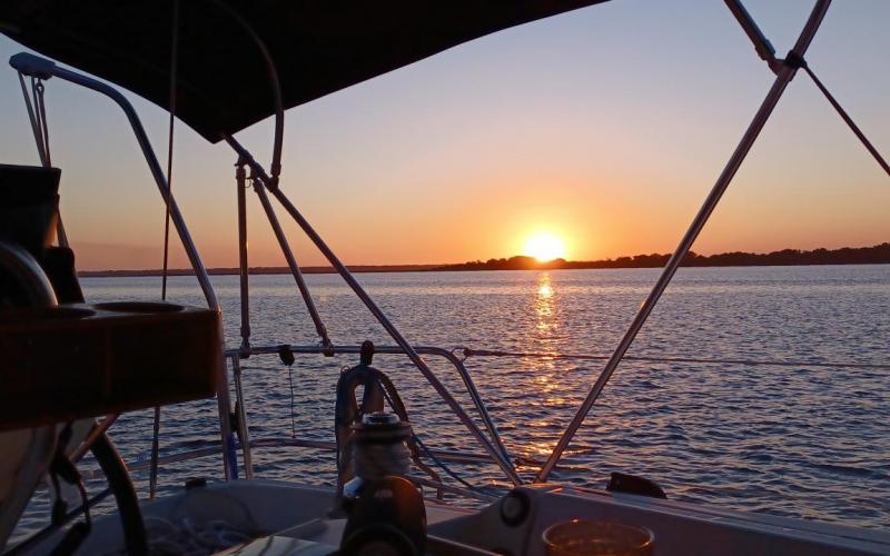
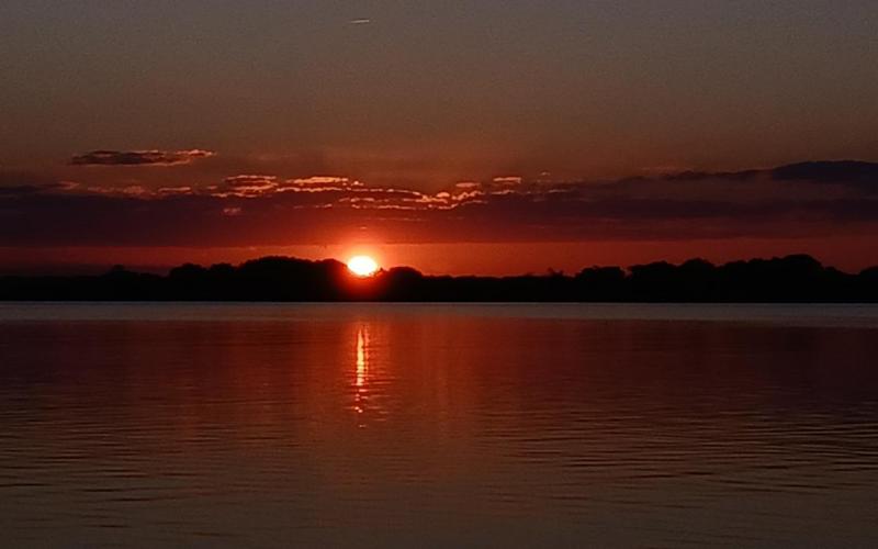
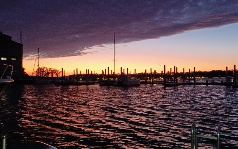
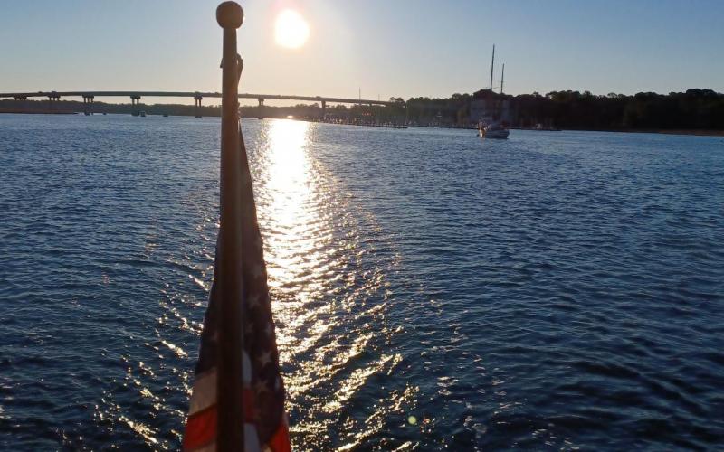
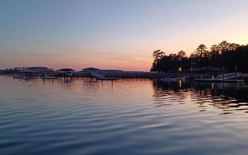
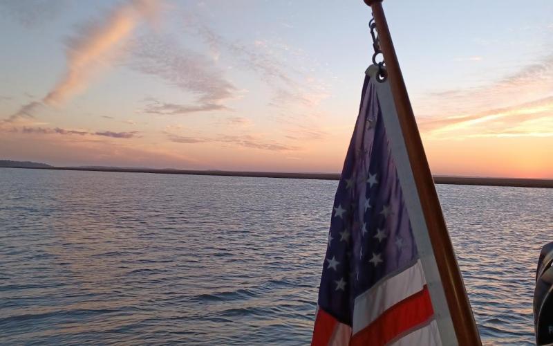
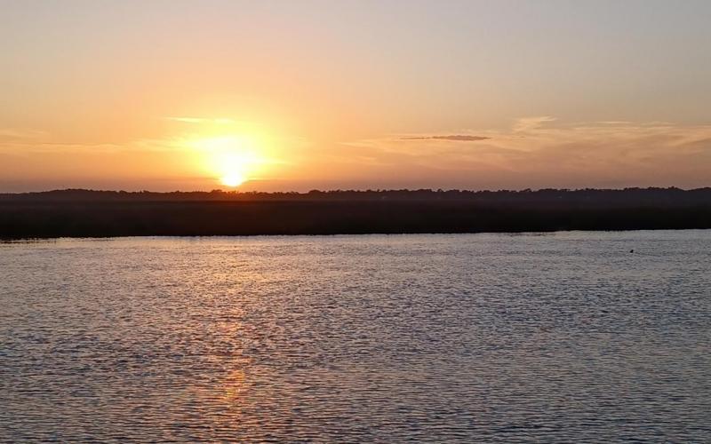
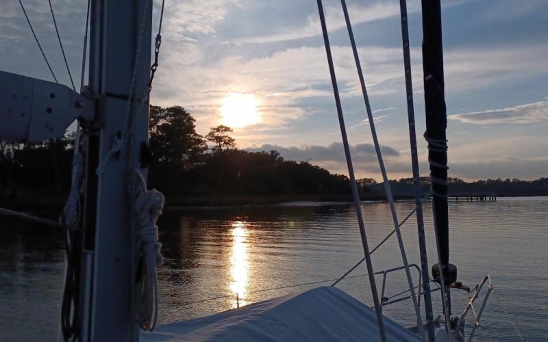
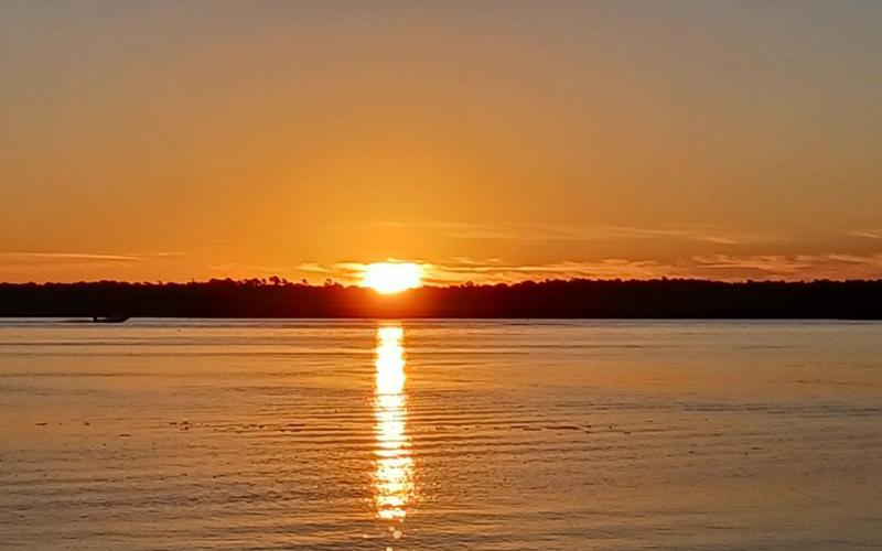
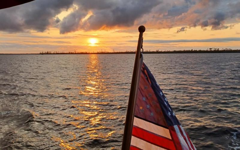
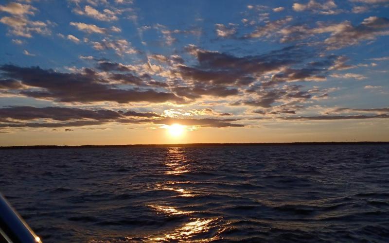
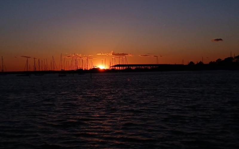
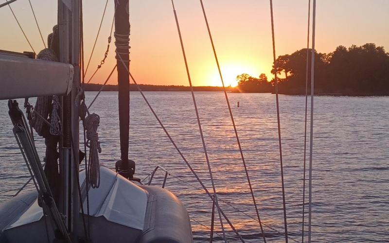
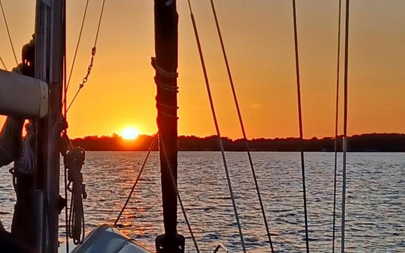
  • Sunset in Mosquito Lagoon.
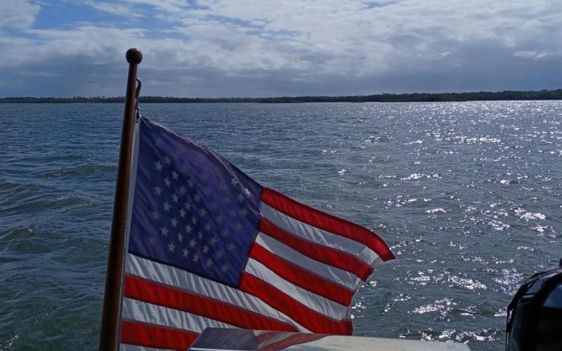
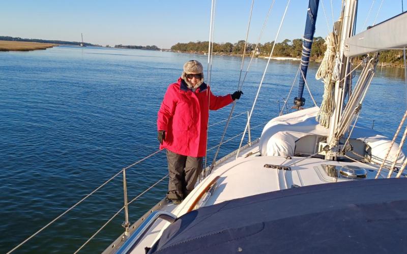
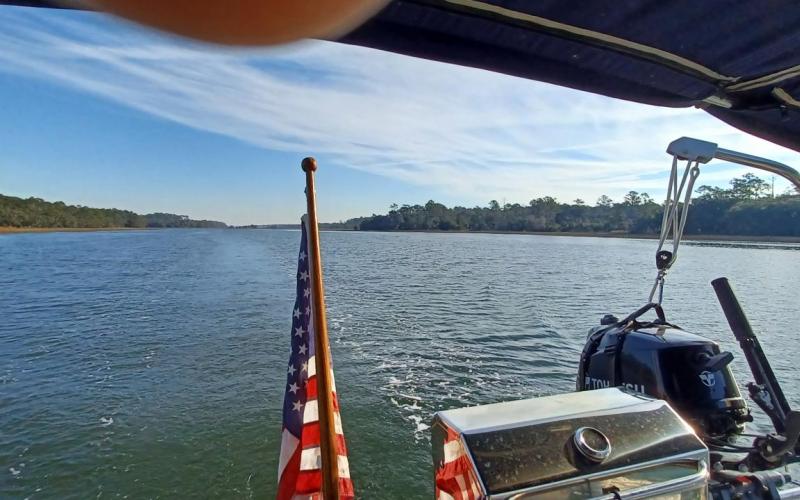
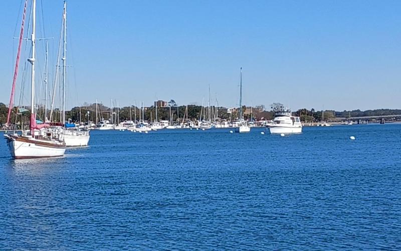
  • Underway for Titusville, FL
  • At anchor dock C slip 101. Now take a break for our trip to Grand Canyon.

Leg 27 - Marineland Marina

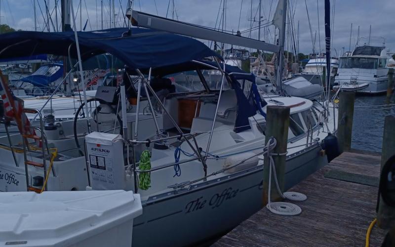
Well, we are back on the move again after a wonderful 5 days in St. Augustine FL. It was a great stop and we took the opportunity to explore a good deal of the city. We started our trip by walking in Old Town, along George street – the historic district. We stopped for a wonderful pizza at Chianti Ristorante recommended by a friend. It was a nice deviation from sea food and also provided leftovers for lunch the next day. After that we walked through the 16th century city gate and around the outside of the local fort. We returned to the boat along the waterfront wall. The next day we explored the interior of Castillo de San Marcos (fort) and learned about the many different flags that flew over the city and surrounding areas from the Spanish, French, American, Confederate, and of course, we can’t forget the original native Americans, who lived here thousands of years prior to the European settlers. That afternoon we had a visitor from our high school years in Doylestown – its always good to connect with old friends. Dinner was at Casa Reina – a fancy Mexican restaurant. We enjoyed our margaritas while people watching on a balcony overlooking the port as we waited for our table. The next day we toured the oldest historical house in St. Augustine – which reminded me of Williamsburg, VA where I grew up as a child.  Then we walked around the town in and about the many different streets and ended up at a very nice restaurant called River and Fort where we had cocktails and appetizers on the rooftop, overlooking, obviously, the fort and the river. It was another wonderful seafood dinner and afterwards we again walked along the river returning to the marina. Finally, our next to last day we toured a typical 18th century boarding house and grounds, and then went onto a museum that was a 19th century gilded age house that the wealthy owner imitated the Moorish architecture of southern Spain. After a decadent lunch at Burger House, we of course, visited the St. Augustine distillery where we sampled vodka, gin, bourbon, and rum. With a cardboard box of bottles we flagged down a courtesy golf cart who took us back to the marina. Yesterday we prepared the boat for our trip such as the pump out, filling water tanks, laundry, and vacuum etc. for departure today. We rewarded ourselves with a late lunch at Harrys, a well known eating establishment in St. Augustine. The afternoon we relaxed on the boat chatting with our marina neighbors and just relaxing in the warm sun. So, now that everyone is caught up lets begin with today. I timed our departure with slack tide so that I wouldn’t have to deal with the strong current again. All went well and it was a very calm and no drama exit from this wonderful marina. The trip down the Mantanza was quite uneventful as well with the only exciting thing to look for were the many derelict boats along the way. The weather is turning windy and rainy and we were hoping to get to our next marina before the rain started – which, as it turns out, wasn’t a problem. We went through the Crescent Beach bridge without incident – which was good since it was down for mechanical issues until Monday. And we turned into the marina and bow into our slip with no issues. The marina operator is trying to convince me I have to stay until Sunday due to the low pressure heading this way. I am hoping to get out on Friday as traveling on Saturday is not wise. Anyway, we cleaned up and took a walk over to the beach. While strolling on the beach the rain finally arrived. Since we were prepared for rain we just continued to explore. But when lightening started showing up we found shelter and waited it out. We returned back to the marina and our boat and eventually had dinner of garlic shrimp and salad. We are hoping for some sun tomorrow to walk on the beach some more. We will be here at the very least, tomorrow and leave Friday so there will be another break. I did manage to update SpinSheet with the pictures from the previous two trips. I will work on those from St. Augustine. Well, that’s about it. I trust all is well with you all. I did see that some snow fell in PA today. Sure glad I was on the beach!

Leg 28 - Halifax Harbot Marina - Daytona Beach FL

Before I jump into todays travels, I should catch you up from our visit to Marineland FL. Yesterday we awoke to a nice strong rainstorm pinging on the cabin top. Sue made pancakes and sausages for breakfast and we sat around waiting for the weather to break. When it finally did, we rushed back down to the beach to walk around the giant coquina rock formations just strewn about in a haphazard manner. We enjoyed the beach and wading in the chilly water and actually found a few nice shells, although there weren’t many. We returned to the boat before the rain began again and then spent the rest of the day doing boat chores. Dinner was shrimp in a garlic sauce over penne and a salad. So, the weather looked very bad for Saturday but a little ok for today. I decided to leave early to get out before the bad weather had a chance to set in. Also, the marina boss mentioned we wouldn’t want to be leaving at low tide due to shallow water. Well, the wind was less than 3 knots, and the current non-existent, and we slipped out of there quite easily. It seemed we were always just steps ahead of the storm clouds and rain as we only had about 10 minutes of sprinkles in the entire 5 hour trip to Daytona. Rats, I had all my rain gear at the ready, too. Behind us were dark menacing clouds and in front of us just broken blue skies. We only had two bridges to be ready for and both opened on signal / request. That meant we didn’t have to be there on the hour or half hour but just call ahead. While we were about 1 mile out from the second bridge, I heard boats traveling north call for an opening. I didn’t want the bridge to close after they passed through and then possibly I have to wait a bit so I called out to the operator and he said if I could get there quickly, would he hold. Well, I had the throttle wide open going over 8 knots against a slight current and we made it just in time. That was about the most excitement we had for the day. Other than Sue seeing another Bald Eagle, a Royal Tern, a Little Blue Heron, and a Tri-colored Heron, that is. We have transitioned from nature land to very expensive homes and high rise buildings. For a while we at least had some nature to watch on one side of the boat but after a period of time we even lost that and just had humans to watch – when they were out. We couldn’t help notice the large screened enclosures over the porches and pools indicating misquotes are most likely an issue another time of the year. We finally arrived at our marina – Halifax Harbor Marina – and they sent me a picture of their slips with a red dot where we were going. That was very helpful in me planning my approach. We went past the fairway and started backing down until I was backing smoothly through the fairway. Then I gently turned into the slip and stopped. The dockhands made comments that they hadn’t seen someone do it as easily as we did it. I guess they have had some rough days. Anyway, we cleaned up the boat and ourselves and then decided to take a quick walk around the very large marina. We went to check out the bath house and laundry room just to get a feel for it. Everything was clean and functional. The docks are great floating concrete docks with long finger piers. The fairways are nice and wide and there is plenty of room all around. It really is a 5 star marina. Tomorrow, if possible, I would like to check out more of the marina and possibly the town. We chatted with a few of the marina members who seem to live here – one guy has been on his boat since 2005 – calls it his condo on the water, another has a sailboat he bought 2 years ago and has never left port. His kids are home schooled and need companions desperately as they came down and chatted with Sue (using her teacher voice) for quite some time. Dinner was grilled steak (yes, they allow grilling at the docks here – imagine that), broccoli, sauteed potatoes and onions. Tonight our original plan was to anchor out but since they are calling for very strong winds and heavy rain along with cold temperatures, I thought it prudent to change our plan and stop here. It really seems like a very nice place so I don’t mind at all. Hopefully the bad weather is out of here by Sunday so we can continue our progress to Titusville.

Leg 29B - Mosquito Lagoon

Well, first, sorry I didn’t get this written yesterday but after drinks and dinner I was too tired. So, I shall catch up. First, we ended up staying in Halifax Harbor Marina and extra day as Saturday it just rained and was windy all day. We basically stayed indoors doing some jobs but mostly just relaxed. Sue started another book on her Kindle. When that happens I lose her for hours at a time. Anyway, we stayed Sunday and took the time to explore around Daytona Beach. We had a nice lunch at an Asian Restaurant near the marina mostly because about 5 different marina patrons we spoke with, all recommended it. And it was very good. It was at this time we realized we didn’t change our clock forward for DST. I thought it was morning and it wasn’t, it was afternoon. I wanted to check out Daytona Beach a little, so we got an Uber to take us to the pier – part of their boardwalk. Wow, it has been bikers week here and while sitting in the marina here (as well as in St. Augustine) they were very noisy. Now we were in the heart of it with bikers to the left of us, bikers to the right of us, and definitely bikers in front of us. It took at least 20 minutes to cover 2 blocks through the center of the downtown Daytona Beach but we finally made it to the pier. We got out and walked the pier and looked at the ocean for a bit. The winds were very strong from the east making the surf rough. Of course we took lots of pictures which I will post some on the SpinSheet site. One thing about being on a sailboat for 35 days is you get peoplefobic. There were just too many people around so we decided to head back to the boat – but not until we had watched a several groups being slung up 150’ into the air on the Daytona Sling Shot amusement ride.  Not for the faint of heart and yikes, not for me, thank you. Then we walked away from the crowds (Sue wouldn’t let be buy a bikers week tee shirt) called an Uber and were soon safely back into our little quiet sailing world on The Office in the marina. Since we had a big meal at lunch we feasted on drinks and appetizers. Then boaters midnight.

Well, that brings us to yesterday, or if I was on time I should say today. Anyway, we got up early, we thought. We had a quick breakfast and quietly slid out of our slip and headed over to the fuel dock to empty out the holding tanks and fill the fuel tank. Ouch, $248 fuel bill. Thank goodness I am not a gas gobbling powerboater! We left the very nice marina and back onto the ICW, heading south. While this part of the ICW has more condos on both sides it was interesting to check out the many different dwellings. One thing for sure, the further south you go the more derelict and sunken boats you pass by. It makes one think twice on where to anchor and what would happen if the anchor drug. The other thing that seems to be increasing is the absence of courtesy other power boaters have as they zoom by.  Oh well. We arrived at our first and actually only bridge opening and I called saying we would be standing by for the 11:30 opening. The bridge operator, very politely stated, “Roger, The Office, but you will be waiting for the 12:30 opening”. Panicking, I thought, how am I going to drive around in circles for an hour and 20 minutes in this narrow area. What am I going to do, possibly maybe anchor. But then the bridge operator continued…”Office, you might want to check the time on your chart plotter.” Oh, silly me. The phones and computer automatically sprung forward. Sue change the clock after we got back yesterday but I never thought about the chart plotter. So, after he had his laugh, I sheepishly acknowledged and we waited for the opening. No issues. We came to the Ponce de Leon cut and while Bob423 recommended one direction, our chart plotter recommended another. I decided to follow Bob423. All went well until we arrive at the point where we rejoined the ICW. I did see on the chart that there was a warning of shoaling at low tide. I checked, yep, it was low tide. So, I slowed down, and carefully stayed on the Bob423 track that hasn’t failed us, and aimed between the red and green buoys, and told Sue to hold on. Bam, contact with mother earth. No worries, I was going slow so I backed up, re-aimed the boat to a different area and moved forward, slowly. Bam, another keel cleaning incident. I did this a few times until Sue pointed to an area north that she felt the water color was more blue. Slowly I fought the current, headed north, no where near any navigation markers and wow, we made it. Once again this is a lesson about when to travel. Low tide is the time to be in port having a cocktail or at anchor having a cocktail. So, now that we scraped any barnacles off of the bottom of the keel I figured we would go a bit faster. We motored past New Smyrna as there was no room in the marina – hence the title 29B – a change where we just pushed forward to Mosquito Lagoon. This an area between a small piece of ocean beach property running north and south and the ICW. While it is quite vast and open, the depths are mostly 5’ or less. There was a spot that has depths of 7-8’ and I had picked our anchorage there. Once again the tide was almost low tide and we were crossing out of the ICW into an area that is charted at 5’. I went slowly, ready to back out if necessary, but we soon were in 8’ of water. Then we headed in about ¼ of a mile and dropped the hook in 20 mph of wind. The anchor stuck first try and we backed down hard after paying out 80’ and putting on our snubber bridle. Confident we weren’t going anywhere we shut everything down and Sue made drinks and we had appetizers. Apparently Sue made my drink a little strong as I didn’t feel like writing this trip report – sorry, hence the lateness. We had grilled hamburger (me), chicken (Sue) along with leftover vegetables and noodles in olive oil and spices. We sat in the cockpit watching the sun disappear behind the mangroves enjoying the strong wind as it was keeping all bugs away. The wind was supposed to lesson in the evening but it never did get below 20 mph. That’s why you set the anchor and pay out chain as if a storm is approaching. You never know. We didn’t budge at all. Tomorrow (actually as I write this it is today) we head to Titusville, one day early to the end of our ICW journey, phase 2.

Leg 31 - Titusville, FL

The wind never let up last night. Each time I was up checking, the wind was between 20 and 25 mph. But we held fast with our anchor. I made bacon and eggs for breakfast as we need to use up some refrigerated items before Sunday. We were not in a hurry as we had a short 15 mile trip to Titusville. After everything was cleaned up from breakfast we recovered the anchor – into a headwind of 20 mph. All went well and we slowly back tracked over the path we entered so that we felt confident we had enough depth to get back onto the ICW. After holding our breath for a few minutes we indeed were back headed south. We had one bridge to get through, which was not an issue at all as it was on request, and all we had to do was stay between the lines and all would be fine. We arrived at the marina and after some confusion on the dock and slip we were to go into I backed successfully into C-101. This is our first fixed dock in many years so we aren’t used to it very much. But, since there is little tide here I am told all is fine. We cleaned up and went to the marina office to check in. They have a nice little store right on site. Dobbs stopped by and then Suzanne as we caught up on our trip and theirs as well. They are the people who fix my rigging when it needs it. Then we had cocktails and appetizers. Dinner will be chili over rice and salad. We have a game of Skibblio with Jen and Christian planned for later tonight. Tomorrow we start preparing for out trip to the Grand Canyon. Then after that we will return here and continue south a little more before returning north.

Thanks for traveling along with us these past 35 days - 24 of which were traveling on the water to cover the 399 miles it took to get from Charleston, SC to Titusville, FL. I should have all pictures posted on the SpinSheet site for all to view.
 

Sunday, February 27, 2022 to Friday, March 4, 2022
Number of days:
4 days
  • 'Gater bites, yup, we are in FL.
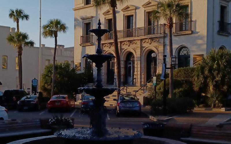
  • Downtown Fernandina.
  • Fernandina Harbor Sunset.
  • Leaving Fernandina. Nice place. We will be back in better weather.
  • Sunset in Gunnison Crossing. Wait for tomorrow tide to transit Sawpit Creek.
  • If this guy is going down Sawpit Creek then it should be ok for us now.
  • Sisters Creek - Above Jacksonville. Free docks available but we choose to anchor out.
  • Sunset at Sisters Creek Bridge.
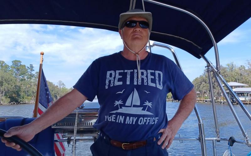
  • Retired on The Office.
  • Sunset at Pine Loop Anchorage.
  • 2 knot current to back into this slip. Little bit of a challenge. Bridge of Lions in background.
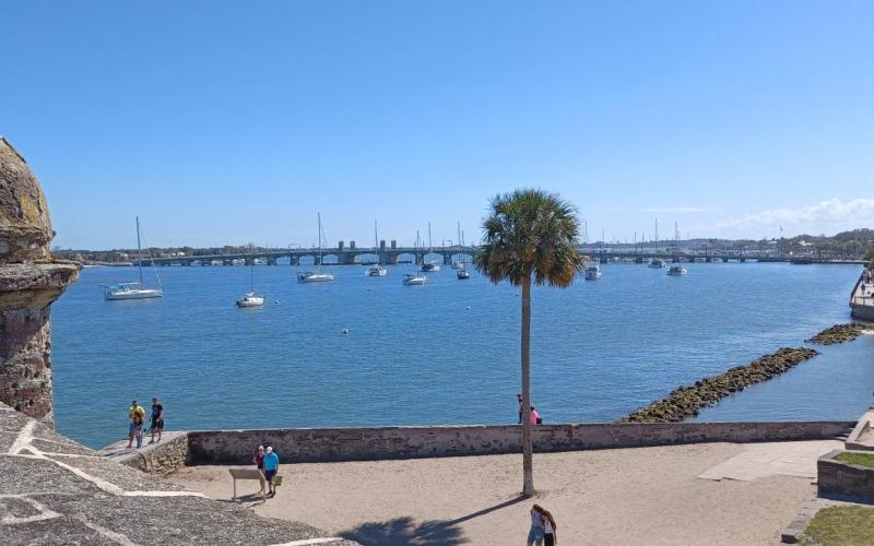
  • View from the Castillo de San Maracos.
  • Rooftop of River and Fort - awaiting our table for dinner.
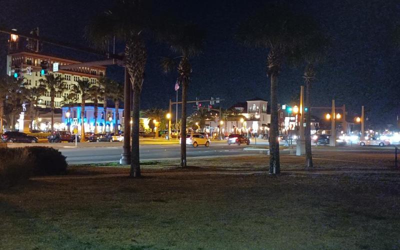
  • St. Augustine at night - after dinner stroll around town.

Leg 23 - Fernandina Harbor Marina

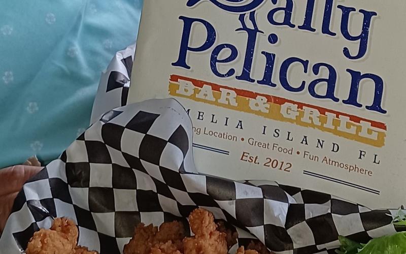
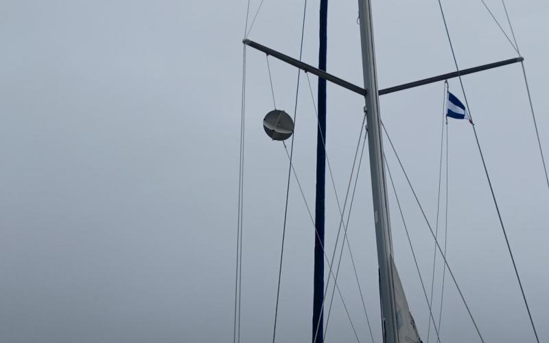
We awoke to some very thick fog this morning. Since it looked like we would be a while we warmed up the pancakes from yesterday and added fresh sausage and enjoyed a leisurely breakfast. I assembled and deployed our radar reflector ball to ensure that the boats going in and out would see us (assuming they had radar). We waited for the fog to lift and finally we were underway, slowly, around 11 am. We motored out through the Cumberland Sound and down the Amelia River. About a mile and a half down we arrived at the Fernandina Harbor Marina. We stopped for a quick pump out and then into our slip. After a small late lunch we stepped out to investigate the quaint town. Sue tried making reservations at a number of restaurants unsuccessfully as apparently today is a day full of people. Lots and lots of people walking about in the cool, sunny afternoon. We ended up deciding on an early dinner and were able to get a table at The Salty Pelican. It was very good food and, of course, we had Gator bites – you know you are in FL when alligator is on the menu. We continued exploring the town after dinner walking off our meal and found a nice book store. Sue found a ‘Birds of Florida’ book as well as one on the history of Cumberland Island. Now, two more books in our library. Back aboard for pictures of the sunset and now down below getting ready for tomorrow. Possibly a laundry day - depending on the weather. Right now it calls for rain. Either case, we are here until Tuesday, unless they find a spot for us Tuesday night. If not, I need to find a place to travel to on Tuesday. Maybe I will get a jump on the schedule but since I already have reservations in St. Augustine we will need to improvise.

Leg 24A Gunnison Crossing

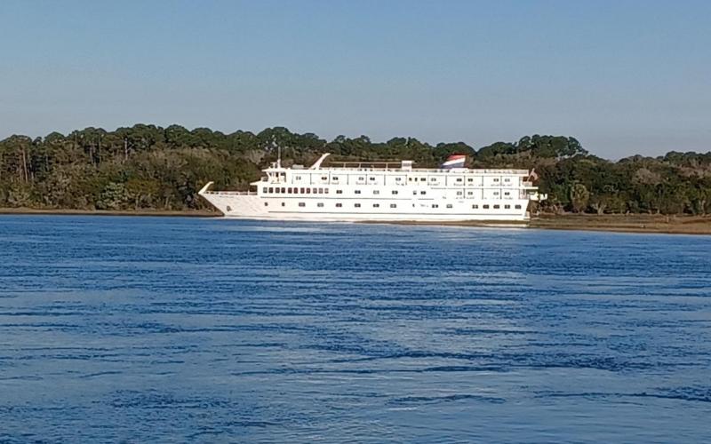
Fernandina was a quiet town and we enjoyed walking around on Sunday but it was rainy and windy all day on Monday. The winds averaged 25+ with gusting over 35 mph. Also, the water was extremely choppy making us feel like we were underway all day, bouncing the boat around. Finally it started to calm down in the evening but the water slapping on the transom was annoying all night. It also got down to 53 last night making us feel better about cutting out time on Cumberland Island short a day to be in port for the bad weather. We had a simple breakfast this morning and then filed the water tanks, took out the trash and prepared to get underway. I also wanted to wait for the tide to change so I could spring my bow out into the current and not smash into the mega yacht in front of us. Well, all went smoothy and we were underway south in the Amelia River. After a short time we turned off the river into Kingsley Cut/Creek. We had one potential bridge that could cause us some grief – a railway bridge – normally open – used to haul materials to the local paper factory – but we heard train traffic this morning so we cautiously searched to be sure it was open. No drama, again, it was open. We then slowly motored along, not in any hurry, and arrived at Gunnison Crossing off of Sawpit Creek and Nassau Cut in the Timucuan Ecological And Historic Preserve. It is quiet here except the honking Canadian Geese and American kayakers. The current is quite strong though as a quick look at the B&G showed 2.1 knots of boat speed – at anchor. Finally sunset arrived and we were mostly alone in the anchorage. Dinner was grilled burger (me) chicken (Sue), noodles, broccoli, and fresh salad. While in Fernandina Sue went on-line with the local Public’s store using Instacart to replenish our fresh fruit and vegetables, eggs, milk, etc. and they delivered to the boat by 9 am. Great service and now we can have good salads again. Well, it is forecasted to get into the 50’s again tonight so I suspect we will fire up Buddy (our heater) – hopefully for the last time. Good thing I didn’t put away my warm night clothes yet. It is a beautiful stary night to night so we will put on a coat and check out the stars before we get back into civilization – and everything that comes with it.

Tomorrow we finish the second half of Leg 24 and arrive at Sisters Creek Anchorage as originally planned. The winds are predicted to be light and temps in the high 60’s and low 70’s.  

Leg 24B - Sisters Creek

Boy, was it cold this morning. I got up around 7 and was greeted with 50+ degrees temperatures in the cabin. So I fired up Buddy and started the coffee on the stove to get the cabin warmer. I also decided to cook bacon and eggs to also help warm up the place. Finally, by the time we sat down to breakfast it had wormed up to a comfortable 70 degrees. It was planned to be a short trip today. Remember, I too the original Leg 24 and split it in half to keep us from arriving at St. Augustine too soon. Also, as it turned out, the low tide in Sisters Cree, would have caused problems. Numerous boats were traveling south down Sawpit Creek including the very large passenger boat / ferry that was docked in Fernandina Harbor before we left. It was quite a sight to watch as it went by. Finally, underway we slowly headed south on a light northerly wind and a sunny sky. We took our time and enjoyed the sights. We saw several Oyster Catchers with their long red bills on the marsh mud shores. Within an hour, we saw over 10 Great Blue Heron and a plethora of Great Egrets, Brown Pelicans, White Pelicans, Terns and Cormorants. The marshlands host such a perfect habitat for a varied wildlife. Just to be clear, Sue provide that last bit of input. I just drove as she enjoyed the sights. There was one area on Sawpit Creek that, if we were going through at low tide, would have caused an issue. Other than that one, all was fine and it was an enjoyable no drama traveling day. We drove past the anchorage and then back to it as the tide was going out. Sue found a great spot, I dropped the hook and Bobbie (remember, the anchor buoy) and we soon found ourselves relaxing in the cockpit having lunch in the warm afternoon sun. Dinner is grilled pork chops, green beans, and mac and cheese. Oh, I had a Klondike bar for my lunch desert. We were looking for the pork chops which were low in the freezer and I saw the ice cream so I decided to enjoy. The weather is warm although it still is projected to go into the 50’s again tonight so Buddy will be used yet again. Other than that, all is well and we are certainly enjoying the adventure.

Tomorrow we have a 4.5 hour day with no real issues. One more anchorage before checking into the marina in St. Augustine for 5 days. Remember, if anyone is getting tired of my daily emails please just email me and I can remove you from the list. You can always keep tabs on the travels by going to the SpinSheet website as I post these to that site when I have access.

Leg 26 - St Augustine

It was not as cold this morning and I ran the heater for only about 30 minutes before all was good and toasty. Cereal and hardboiled eggs along with coffee got us started. It was an easy anchor recovery and we were quickly on our way. We had 1 bridge (bascule) opening to worry about and it was 2 hours away but since there was no opening at noon we just took our time, especially when we got closer. A few miles north of the city Sue spied a helicopter carrying a small airplane through the air. Turns out a pilot crashed in the marshes and they were recovering the aircraft. Things you see along the way as you move at a slower pace. We waited against the current for about 10 minutes and then went through the famous Bridge of Lions. Our marina was right after the bridge, so I had to make a quick hard right and then a hard left to get into the fariway that our slip was in. A 2 knot current was running against us as I was backing into the slip. I used almost full throttle to make the turn – a guy in a 65’ catamaran quickly ran out with his fender just in case I hit him – as I  moved past his boat. All went well and the dock hand secured our lines – then I slipped away and changed my shorts - haha. We cleaned up and had a quick lunch before taking a stroll into Old Town. After a bit we stopped into a restaurant that was recommended to us by a boater friend for some brick oven baked pizza. Afterwards, we explored the town a bit more and headed back to the boat. We have 5 days here so I won’t have anymore emails until next Wednesday.

Tuesday, February 22, 2022 to Saturday, February 26, 2022
Number of days:
5 days
  • Departing Jekyll Island
  • Anchoring in Plum Orchard
  • Going ashore - this is what happens when you leave the ladder in the water too long.
  • An old out building still in use by descendants of Carnegie family.
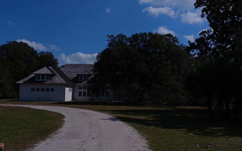
  • The mansion at Plum Orchard
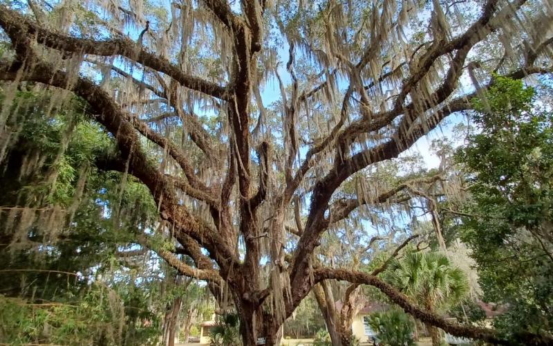
  • Spanish moss on Live Oak. All over the island, so majestic.
  • Leaving Plum Orchard
  • Arriving to Dungeness area.
  • The dock to the southern access.
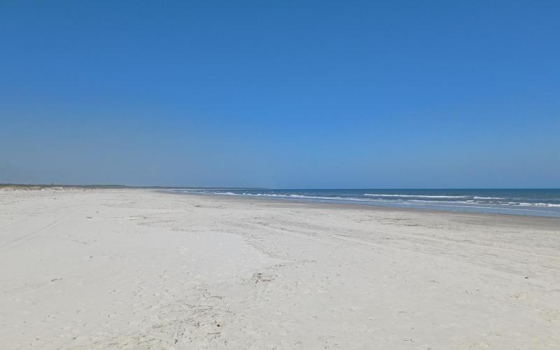
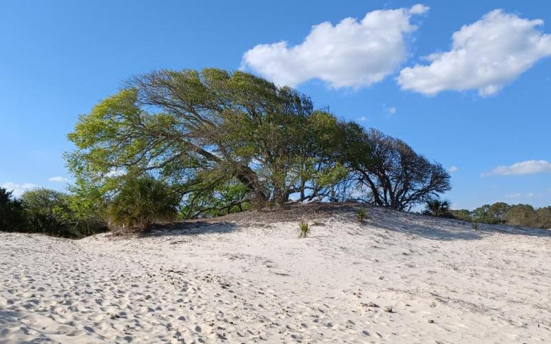
  • A walk on the white sandy beaches.
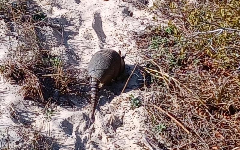
  • Look closely and see a friendly armadillo.
  • Sunset at Dungeness.
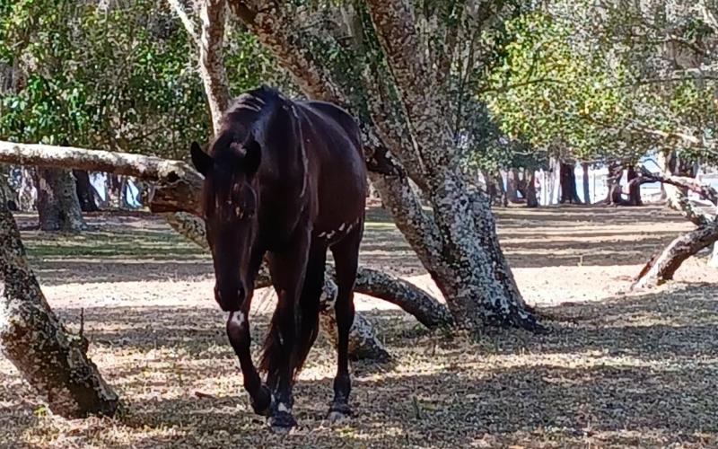
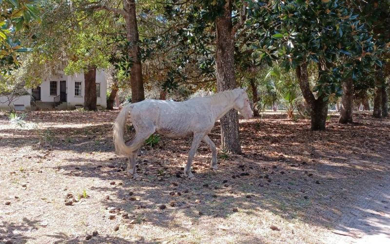
  • A wild horse wanted some of my lunch. No, sir, go get your own.
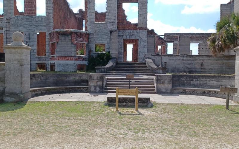
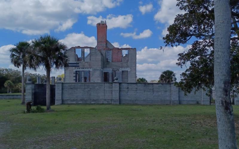
  • The second house on Dungeness.
  • A different view of the house.
  • Another horse comes to visit with us.
  • An old out building still in use.
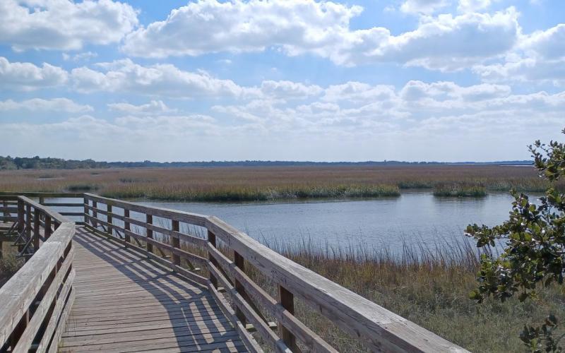
  • A walk on the southern marsh boardwalk.
  • Gee, I wonder which way the wind blows.
  • Some friendly local wild turkeys.
  • Another sunset.
  • Even more sunset in Dungennes.
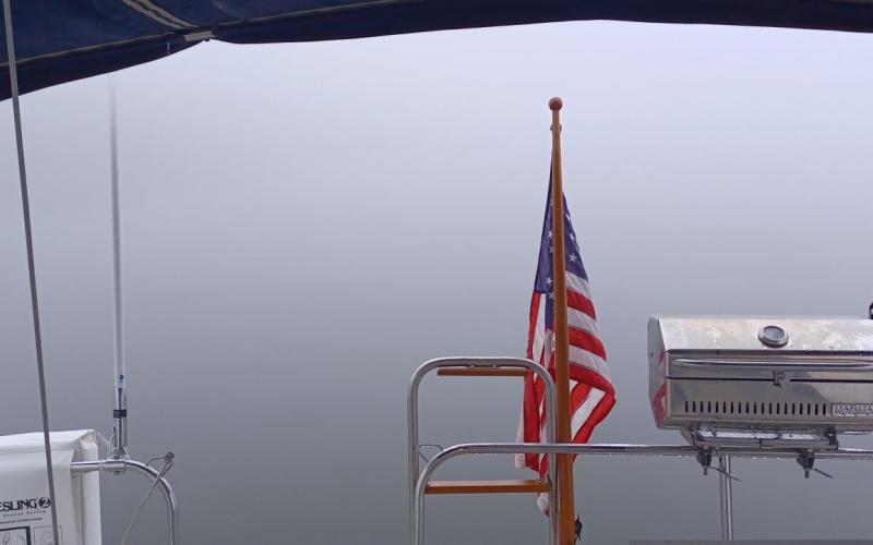
  • This is what we woke up to. Will wait to get underway.
  • We hoist the reflector and wait for the fog to burn off.

Leg 22A - Jekyll Harbor to Plum Orchard

We finished up visiting sights at Jekyll Island and decided to depart one day early. Also, a storm is predicted for this weekend and we wanted to get in good hiking weather when we could. So, because high tide was after noon we took our time getting ready to go. With a final pump out we were on our way out of Jekyll River. It was a simple departure and soon we were out in St Andrew Sound, out almost into the ocean, and then turned back inland to Cumberland River. It looks like we went out of our way until you realize the area has many shoals. So, no drama as we entered Cumberland River and followed it all the way to Brickhill River (southern entrance). Once there, we turned up the river and went about ½ mile to drop the anchor. The winds were strong, as was the current, but we snagged the bottom first try, deployed Bobbie, and backed down on the anchor to set it firmly as strong winds are predicted for tonight and tomorrow. With that done we started talking about our procedures to deploy the dinghy. It had been a while so we made sure we both understood what we needed to do as it was still quite windy. All went well and soon I was rowing myself to the dinghy docks to check out the sights. There is a historic house we want to tour tomorrow so I got the hours as well as the envelop to collect our entrance fee. I met a bunch of folks who were out hiking for the week on the island. They enjoyed the tour and pointed out some areas for us to hike tomorrow. I returned to the boat and after securing the dinghy we sat back for cocktails and appetizers. A dinghy with boaters from the catamaran north of us stopped by to say hi as they were on their way to get a closer look at the grazing wild horses. Sue identified 3 new birds today -  Wood Storks, Forester Terns, and Night Herons – her bird book is very handy for sure. Dinner was left overs with grilled hot dogs for me and salmon for Sue. Temperatures outside right now are in the high 60’s and in the low 70’s indoors so it is very comfortable. Tomorrow we will pack lunch and row into the dinghy dock to tour the house and hike looking for more wildlife – especially armadillos. So, boaters midnight soon.

Tomorrow we will be at anchor but plan to head to the southern part of the Island Thursday. Here is the original plan for leg 22 though.

Leg 22A Exploring  Plum Orchard on Cumberland Island

It was a calm night after a successful day of travel and anchoring. The sun was hiding a bit in the early morning as we had a simple breakfast. It was finally warming up with temperatures in the low 70’s already. We readied the dinghy for departure and got underway much too early but I was anxious not to be late for the 11 am showing of the Carnegie House – named Plum Orchard (the guide said there was no orchard but the area was called that before the house was built so they called it that anyway). So, we were there at 10:15 and walked around the quiet property until the showing. The tour was quite splendid as we were the only people and I could ask the silly questions I ask. This house was a honeymoon cottage gift to George and Margret Carnegie one of the children of the wife and husband (Lucy and Thomas Carnegie) of the brother of Andrew Carnegie and passed down through time. At one point Lucy owned about 90% of the island. She gave a house to each of her children but not the land so they could never sell it. Eventually as time wore on decendents were allowed to sell and started selling to pay for upkeep. Then in the early 70’s many of them got together and decided to donate their property to the National Park Service who now owns the entire island and runs it as a national park. It cost a whopping 10$ per person for a 7 day pass. There are a lot of nature things to do – quite a wonderful place. After the almost 90 minute tour we sat under a 200 year old live oak on a picnic table and had lunch. We watched as a small herd of horses grazed across the way towards the river. Then we took an inspiring walk in a canopy of moss draped live oak, long needle pine, and palm trees.  Quietly walking Sue spotted our first armadillo. I tired to get a picture but alas, he was too far away. Maybe tomorrow. Then we rowed back to The Office in the dinghy cubicle to relax in the warm 78 degree sun with a gentle breeze blowing. Dinner tonight will be grilled filets, egg noodles, green beans, and a salad. 

Tomorrow we will get up early to head down to the southern part of the island and visit Dungeness, the main house for Lucy and Thomas. We were told we should be able to see many more wild horses, armadillos, deer, turkey vultures and humans.

Leg 22B Move to the southern part of the island

Another calm night and we awoke to nice temperatures again. We had a calm breakfast as we needed to wait for the tide to start coming back in before we headed out for our short trip to the southern part of the island. This meant we had to come close to the Navy Sub base where we had a nice coast guard escort to be sure we didn’t try anything funny. We headed into the river and past the first park dock landing and then past the second. I wanted to see what the third one looked like but it turned out to be a private dock. So, we headed into the current, found the perfect spot, and dropped the anchor. At first it didn’t stick but we persisted and got a good dig into the bottom – which this time is supposed to be sand. We cleaned up from that exercise and had some lunch before deploying the engine onto the dinghy. We reviewed our procedures a few times since it had been a while since we did this. But, all came back quickly and the engine was on the dinghy ready to go. We got our lift jackets, water bottles and snacks, and hiking shoes and jumped into the dinghy (well, not jump). Before we cast off the lines I wanted to get the engine going as it hadn’t run since the fall. I told Sue to be prepared for a lot of cursing, just in case. Well, to my amazement, it started on the 3rd pull and we cast off the lines and headed to the National Park Service docks. We had a successful docking there and tied Cubical up tightly and walked to the rangers office. We got some guidance on where to go and headed off towards the beach. The trails are very nice, easy to walk, and nicely marked. We made it to the beach, removed our shoes, and strolled down to the gentle waves rolling ashore. While the water wasn’t warm, it certainly wasn’t horribly cold either. Then we walked back up to some dry sand, sat down and had a nice mid afternoon snack and water. Sue then went off to look for shells and I studied the inside of my eyelids enjoying the warm sun upon my face. After a bit we headed back to the landing and on the way saw another armadillo, this time we got some good pictures and a nice video clip. Then back to the dinghy for a ride to check out the other dock before heading back to the office. Dinner was grilled port, rice and squash in tomato sauce. With all the fresh air and hiking about boaters midnight will be very soon.

Tomorrow we will dinghy down to the other dock and check out the sights there.

Leg 22B Explore the southern part of the island

After a full breakfast of bacon and eggs Sue made our picnic lunch and we jumped into the dinghy for a short trip to the Dungeness dock.  These are the docks to the southern part of the park with lots to see. We tied the dinghy and went ashore for today’s adventure. After visiting the old ice house, now a museum, and the captains lodge, we headed off on the trail to visit the ruins of the second mansion on the site – Dungeness. There is an interesting history of the island starting with the European founder, James Oglethorpe, until the time Lucy Carnegie bought most of the island. Check out the National Parks site to learn more. After walking around the mansion site and many of its outbuildings (one that housed a squash court, swimming pool, and other athletic facilities), we headed out to visit the family grave plot before taking the long walk through the marsh lands and finally onto the beach. We once again waded in the refreshingly cool water and sat on the warm sand soaking in the bright sun before hiking back through the beautiful live oak trees. This is touted as the largest live oak forest in the US and is certainly breathtaking at every turn along the way. We sat eating lunch at a picnic table when two wild horses walked up to check us out. Seeing as we were stingy and not going to share our lunch with them they trotted away. We also saw multiple armadillos through out the day and I actually walked to within 2 feet of one while he was snorting through the grass looking for bugs. And we finally were treated to a rafter of wild turkeys. And, yes, we did run into the obnoxious animal called humankind. Boy are they a noisy bunch, running and screaming splashing and jumping in the water. We stayed our distance as one never knows what will happen with them. We were quite tired after our 3 mile hike out and back but thoroughly enjoyed the journey. Once back to the docks we waited until the ferry departed taking the masses with them and leaving us to a tranquil site once again. It was a quick dinghy ride back to The Office. We cleaned up a bit and had drinks and appetizers to chill in the late evening sun and finally descended below after a peaceful sunset. Dinner was grilled shrimp, southern style spinach, and rice. Then, we cleaned up the dishes, listened to music for a bit and, of course, boaters midnight. Cumberland Island is well worth the trip.

Leg 22B - Relaxing in Cumberland Island

It was another calm night at anchorage pivoting on our anchor chain with the changing of the tides. I made pancakes and sausage for breakfast to prepare us for a relaxing day doing boat chores before lunch. Then after lunch we took an 8 mile dinghy ride around the sound exploring areas not accessible by foot. Then we recovered the engine and the dinghy, preparing us for our travels tomorrow. The rest of the afternoon was just enjoying the sun and cool breezes listening to Spotify. Really, we didn’t do much of anything. And that is a good thing. Dinner is grilled salmon, spinach (leftovers) and egg noodles. Pudding for desert! While Cumberland Island is absolutely wonderful and anchoring out has been extremely enjoyable, it will be good to be on the go again tomorrow. But, an entire day devoted to relaxing is just super.

Tomorrow we head south to Fernandina Beach after a relaxing breakfast since we don’t have far to go.

Days: 5     Days to date: 15

Miles 27.1     Miles to date: 245.5

Monday, February 14, 2022 to Friday, February 18, 2022
Number of days:
5 days
  • Palmetto Marina
  • Leaving Hilton Head
  • It was a little chilly on the water.
  • Isle of Hope Marina / town from our anchorage
  • Sunset at Isle of Hope
  • Leaving Isle of Hope
  • Sunset at Walburg Creek anchorage.
  • Beautiful blue sky headed towards North River
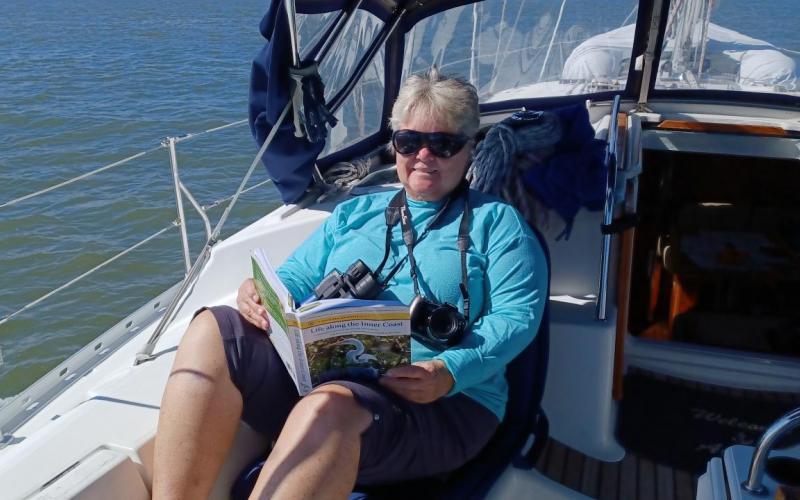
  • Sue reading her nature books as we travel through the marshes.
  • Sunset at North River
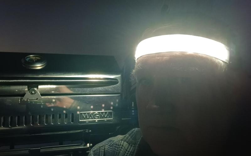
  • Cooking dinner with my headlight band - a gift from my sister and brother-in-law
  • Anchorage change to Frederica River and Fort Frederica on St. Simons Island
  • Building ashore on St. Simons Island
  • Sunset at Frederica River
  • Leaving Frederica River - first overcast day
  • Headed to Jekyll Island - the rain arrived early
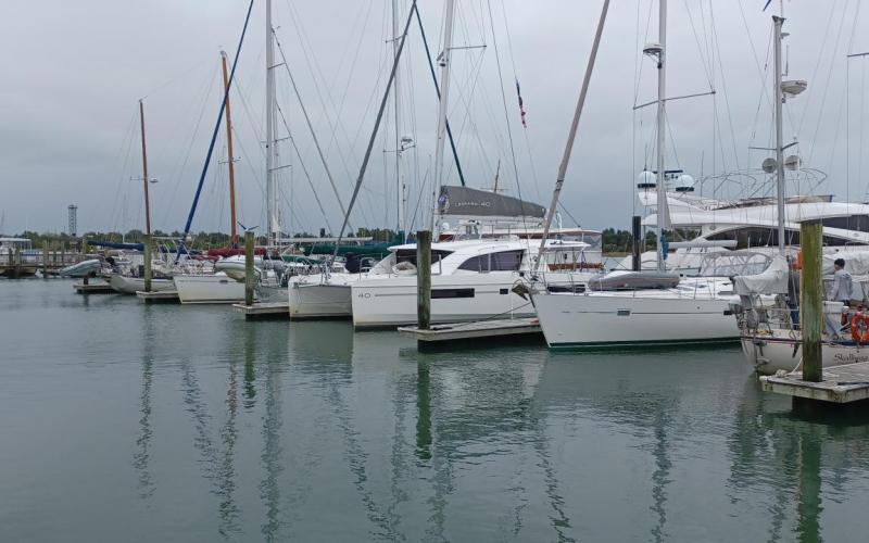
  • Jekyll Harbor Marina - very nice place
  • Our neighbor across the dock.
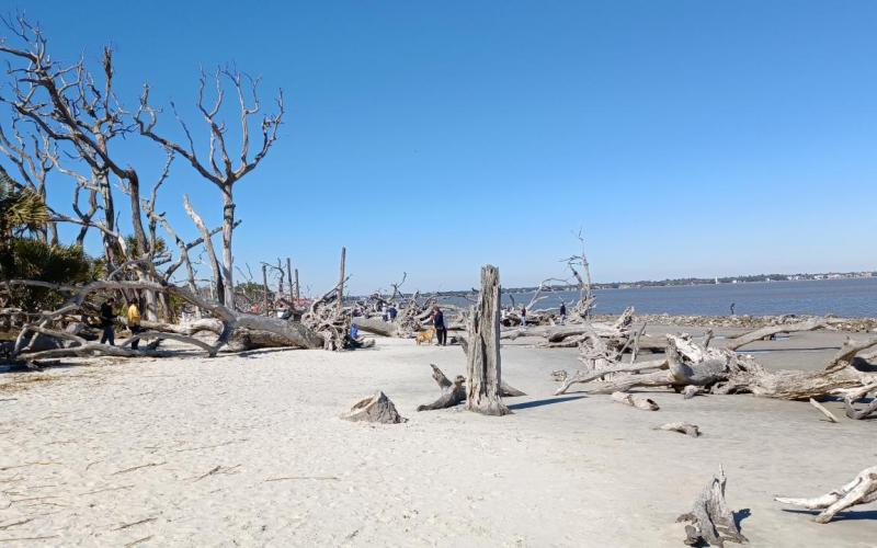
  • Driftwood beach (boneyard beach) on Jekyll Island

Leg 17 - Isle of Hope

We needed to get an early start today as high tide was 6:58. By leaving at 7:30 we were able to pass by the three cuts at a mid tide and not have any issues. So, the alarm went off, we had a quick breakfast and we were on our way in 39 degree sunny weather at 7:39. As hoped for, we had no issues as we went through Walls Cut, Fields Cut and Elba Island Cut. We traversed the Savanna River fighting a strong current but it was no match for The Office. We are enjoying the countryside and blue skies as we search out more critters. While Sue is a bit chilly I am able to keep warm with multiple layers – only my feet tend to get cold. We arrived at our anchorage at 13:40 and settled down below to warm up. Sue made hot chocolate and then I made cinnamon rolls. Yummy treats that also warm the place up. Right now It is 72 degrees in the saloon while being 55 outside. I have a few chores to do but will relax and watch the country side. Dinner tonight will be focused on using the stovetop to keep the place warm. Tonight it is supposed to be cold again but tomorrow temperatures start to hit the 60’s and even 70’s. Winds tonight should be between 5-8 with gusting maybe to 18. We have out a 5 to one scope so we should be just fine. I am watching how the tide effects us as we anchored at low tide and not we are on a flood tide.

Tomorrow we stay inland and end up at Walburg Creek Anchorage. We will leave at high tide (around 8 am) so that we pass through Hell Gate with enough water.

Leg 18 - Walburg Creek

The temperature outside was 38 when I awoke and only 46 inside. I started the coffee and Buddy to warm up the saloon. In no time coffee was ready and the temperature was a balmy 60 degrees. We had a simple breakfast of cereal and hard boiled eggs and Sue had yogurt as well with fresh fruit. We raised the anchor a little past high tide with very little current in the river and headed out for the only scary part of today’s journey – Hell Gate. It was about 2 hours away which meant there should be plenty of water and the risk was minimal. Sure enough, we arrived, we had plenty of water – never saw less than 12 feet – and we relaxed the remainder of the journey. While motoring along the Bear River,  Sue watched a fisherman in a john boat wait until a flock of about 20 brown pelicans line up behind the stern of the boat, three abreast, like a mother duckling and her chicks. Once they were perfectly aligned he would toss out chum and they would scatter to eat it. Then he would jet away for about 500 yards, wait, and repeat. Obviously, he had been training these birds over a period of time. Unbelievable to watch. In addition to brown pelicans, we have also seen a number of white pelicans. We have been looking for the otters but none sighted so far. Now that we are in Georgia many of the homes along the water front resemble the mansion in Gone with the Wind. Two story, tall pillars and wide porch. We turned off the ICW to head into Walburg Creek. While the chart said there was 8-10 feet the keel said otherwise and we stopped abruptly. I wiggled myself off the shoaled area and went further east around to much deeper water. Oops, cleaned the bottom of the keel on that one. We decided to anchor in about 17 feet of water so I adjusted Bobbie to account for the 7’ tide. Anchoring went smoothly and we retreated to the warmer saloon. While it is 60 degrees outside the wind is blowing 8-10 knots with gusts to 20+. Temperatures should not get too low tonight but the wind has finally arrived. I am keeping an eye on the anchor as the wind blows in the same direction of the current. High tide will be around 8:30 tonight and then we should swing in the other direction. Dinner tonight will be grilled salmon, brown rice, green beans and a fresh garden salad. We probably will play a board game or two before boaters midnight. Today we traveled 27.2 miles bringing the total for the trip to 158.7.

Tomorrow is another 5 hour day with no bridges or cuts to worry about. I am stopping short of the Little Mud River as the book recommends to only attempt to cross in high tide. We might opt to stay at New Teakettle Creek as the name sound neat.

Leg 19 - North River

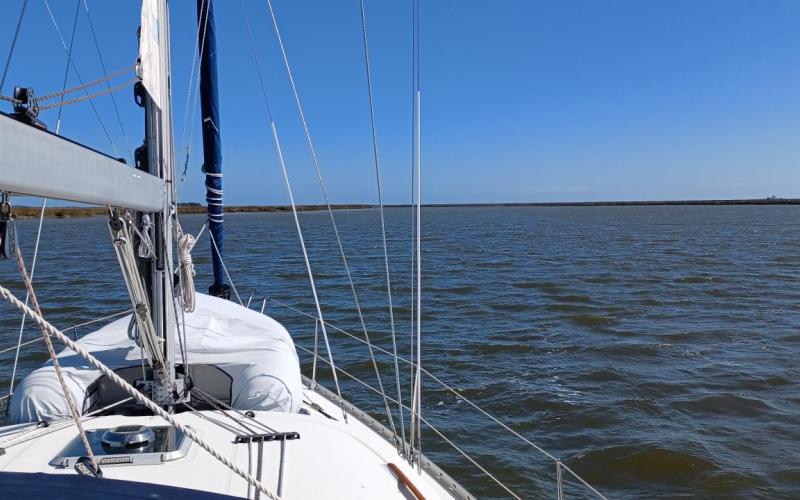
Ok, yes, we got up had breakfast and got underway. The same thing each and every day. While the write ups all sound the same, each day’s journey through the low country has been unique seeing different towns, grand water side homes (fewer here in GA), water fowl (today we saw a family of hooded Merganser ducks with the little fluffy babies trailing behind with their tufted hairdo), birds (today we finally saw a bald eagle sitting in its huge nest), dolphins and the many different creeks, rivers, marshes, and sounds. Today, it was actually a little bit warm. Well, it could be that we have been in cold so long that we think 58 is warm but it only took 30 minutes to warm up the saloon. After breakfast I went forward to check on the anchor. Unfortunately the anchor float (aka Bobbie) was caught up in the anchor bridle. Not having any clue what was going on, I weighed the anchor to unhook the bridle. Then the boat moved quickly away from the float. It seems that in the strong wind and current direction change it became entangled. I was worried it also was caught on the keel or something of a bigger problem, but, alas, not a problem. You might notice that every day we seem to get underway a little later than the day prior. We are timing our departure to allow us to enjoy higher tides while traveling through areas of low water. I have planned the areas of concern to be in the beginning stages of the trip and the anchorage is planned prior to the next area. Today, we left at slack tide and removing the bridle, and anchor float and hauling in the anchor went very smoothly. Sue was still down below preparing for departure so I came back to the cockpit and got us underway. The first area of low water was at the south entrance of Walburg Creek but since we left at high tide (oh, by the way tide differentials are between 6 and 8 feet) there were no problems. We then went out of Walburg Creek into Johnson Creek for a while and then into South Newport River. The weather was warmer today and we were enjoying traveling without having multiple layers of clothing on. At the bottom of the South Newport River we motored into Sapelo Sound where we enjoyed the smell of the ocean along with the larger swells on the incoming tide. We headed back inland on an open water way which, if we had wind, would have been a grand time to sail. But, alas, the wind seems to only show up when we are doing multiple hairpin turns. As we were heading inland we could see Blackbeard Island on the port side. I wanted to take a side trip and look for treasure but time didn’t allow for it. Finally we arrived at Old Teakettle Creek, known for its many low water spots. But, we made it through with no issues. We finally anchored in North River around low tide in about 13 feet of water so I set Bobbie to 22 feet to allow for the 7 foot tidal change. We took advantage of the hot water created by the engine and took showers and then spent the afternoon relaxing in the cockpit listening to the woosh of the dolphins surfacing and watching the pelicans dive for their dinner. Speaking of dinner, we had grilled London broil, green beans, sautéed onions and potatoes, and salad with red wine.

Tomorrow high tide is after 9 am so we can get up later and have a nice breakfast of eggs and bacon and toast. Then we get underway for the dreaded Little Mud River. It has depths of less than 4 feet at mean low water – one must go through at high tide or get stuck in the stinky mud. Here is tomorrow’s plan. I made tomorrows trip short to allow for waiting for high tide to get through The Little Mud River

Leg 20 - Wally Leg / Frederica River

Wow, it is so nice to wake up to 60+ degrees sunny mornings. Today I made the coffee and then fired Buddy up for a brief period to take off the chill.  Breakfast was a relaxed morning of bacon and eggs and raisin bread. Recovering the anchor went flawlessly and we were on our way right around high tide to tackle The Little Mud River. Winds started out light with a partly cloudy sky, but, as it was yesterday, temperatures warmed up into the low 70’s. Because we left at high tide The Little Mud River was not an issue. I did see a spot where it reregistered 9’ so take away the 7 foot tide and you will understand why it is not recommended to traverse anytime other than from rising mid to falling mid tide. We were headed to The Wallys Leg Anchorage but winds were picking up and the forecast called for gusting in the high 20’s so we looked for something with more cover. We agreed upon an anchorage in The Frederica River near Fort Frederica National Monument. It preserves the archaeological remnants of a fort and town built between 1736 and 1748 to protect the southern boundary of the British colony of Georgia from Spanish raids. About 630 British troops were stationed here (Waterway Guide pg 336). Yikes, it seems desolate now, I can’t imagine what it was like in the 18th century. The arrival here was unique with 6’ tall cordgrass on either side reminding us of the movie The African Queen with Bogart and Hepburn. It is a little different anchorage than what we have experienced before. There is the usual marsh cordgrass on one side, but Spanish moss covered live oaks and pine on the other. The wind and current are fighting each other pushing us back and forth and making it rather uncomfortable. And of course gives me more anxiety with the holding of the anchor. At least it is not a crowded anchorage where we would have to worry about the swing of other boats. Well, dinner is grilled burger for me and chicken for Sue with a fresh green salad (must eat while it remains fresh) and mac and cheese. Tomorrow, a short trip to a marina in Jekyll Island.

Leg 21 - Jekyll Island

Today was the first overcast day at breakfast. This was threatening looking so we rushed breakfast to try and beat the rain – which wasn’t forecasted until after noon. The anchor came up fine – even though we passed by it overnight as the tide changed multiple times. Some people have problems with the anchor chain getting wrapped around the anchor when this happens. I keep wondering when that will happen. So far, all was good. So, the rain didn’t wait. About 30 minutes after we got underway it started raining here and there. Then, around 10 it really poured as we went out into St. Simons Sound. Luckily there weren’t many other boats out in this weather. Finally we made it into the East River and then into the narrow Jekyll River. This is another path you don’t want to take during low tide as I saw nothing deeper than 14 feet and most of it was around 10-12. This is with a 9 foot high tide. Anyway, we got to the marina and the rain decided to give us a break as we tied up. We cleaned up everything and headed to the marina office. We soaked in some local knowledge and then took a courtesy golf cart for a ride around the island. This was our first time off the boat in 5 days so we had to remember how to walk again. First stop, the GA Sea Turtle Museum and Rescue where we learned all about sea turtles. Then we continued our tour through the majestic streets with very large live oaks and tall pines totally covered in Spanish moss. Quite exquisite. Once back aboard we gathered laundry and took it up to the marina building where Sue did two loads. Finally, dinner at their local restaurant that just reopened today. It was a festive event. Now, tired and full, its boaters midnight.

We are staying here for the next few days. I need to replan some future stop to take advantage of weather. Hopefully it starts to warm up a bit and anchoring out won’t be as chilly. But, for now, the 74 degrees outside is just wonderful.

Tuesday, February 8, 2022 to Saturday, February 12, 2022
Number of days:
5 days
  • Last day in Cooper River Marina
  • Leaving Cooper River Marina
  • Anchored in Steamboat Creek
  • On the ball in Beaufort SC
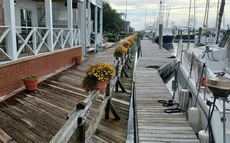
  • Sunset in Beaufort Safe Harbor Marina
  • Anchored in Bull Creek
  • Touring the beach in Hilton Head
  • Pete and Denise with Sue on the beach in Hilton Head

Leg 12 - Cooper River Marina to Steamboat Creek. 

Ok, finally underway on our phase II journey of the ICW. Up around 7 for a quick breakfast and then final preparations in the cockpit etc. Headphones donned, we pulled out of the slip and then backed right into the day dock where the pump out apparatus is located. The guys from the marina helped empty the tanks and then we were on our way. It was a gentle departure in an incoming tide. There was little to no wind with temperatures in the high 40’s low 50’s on a cloudy gray day. We were taking our time as I was retrieving and stowing the fenders when I realized the bridge only opens on the ½ hour and not on demand. So, we went full throttle and made it just in time. Actually there was a barge coming north and we let him go first which gave us additional time to arrive before they had to close the bridge. Finally through the bridge, we quickly came upon the next challenge – Elliot’s Cut – a narrow area with rocks on the banks. It is recommended to radio your arrival in case there are boats coming from the opposite direction. We did that and met no one. So, we sat back and enjoyed the beauty of the Low Country of South Carolina. We saw many dolphins and Great Egrets, Brown Pelicans, and some Osprey. We were making great time as we were going with the current so I slowed the engine.  As we came upon the planned anchorage we decided it wasn’t a good place so we opted to one of the alternatives  – Steamboat Creek. Sue took us down to the bottom near the dinghy dock and we dropped the hook in 24 feet (high tide at the time). Travel time for the day was about 5:35 as we traveled 32.2 nautical miles. It was a great first day. Dinner is planned to be prosciutto and chicken tortellini along with a fresh salad. Early to bed as temperatures are to go into the low 40’s.

Tomorrow we get up early and head to the mooring field outside of Beaufort SC. Then the next day we will have a short ride to the marina and then enjoy the town for the afternoon and evening. We need to get to the bridge no later than 3PM as they stop opening for rush hour traffic. If we don’t get there by then we have to wait until 6 PM.

Leg 13 - Beaufort Mooring Field

We were up to a very cold morning at 6 to get our day started. I got the coffee percolating as well as fired up buddy – our propane indoor heater to get the temps into the mid 50’s. After breakfast Sue started making lunch (sandwiches and snacks) as I prepared the anchor retrieval process – pulling in the chain to gather the bridle and the anchor trip line. Finally, with the anchor retrieved and cleaned we headed out of Steamboat Creek. This was an exceptional stop and so much better than my original plan. Since we left before low tide there were many areas I was concerned about. We did manage to get through them all with the lowest water level of about 6’ so I relaxed a bit. I was much more comfortable yesterday when we left after low tide and all the places with shallow water warnings we hit in a rising tide mid tide or at high tide. But, even though we were lucky most of the time I decided not to chance it going through the Ashepoo Coosaw cut off. These are two cut offs with reported 4’ of water at MLLW. So we instead took a left turn and headed south out of Fenwick Cut (which had 12’ of water the entire way trough). While it was further to travel we could go faster and not stress over water levels. While heading up the Coosaw River the wind picked up a bit and I deployed the Genoa – for at least 2 hours. That was great as it helped us go a little faster. It gave us the opportunity to possibly make the 1 pm opening of the Lady’s Island bridge so we scurried as fast as we could and arrived just in time. Once past the bridge Sue took the wheel and drove to the mooring field where we were picking up the mooring ball. It took 2 tries as I was unable to snag the painter line on the first attempt. We tried another ball and snagged it first try and then I slipped my line through and tied up. Sue did a great job driving against 3 knots of current and 10 knots of wind. We cleaned up after the day’s travels and then relaxed. I had a celebratory beer warming in the sun drenched cockpit (someone said I was snoring) while Sue read down below. Dinner tonight will be grilled chicken (Sue) and hamburger (me) along with seasoned green beans and stroganoff noodles. Oh, and don’t forget Klondike bars for desert. I suspect early to bed as it was a long day. Also, while it is a bit warmer than yesterday, the temperatures are supposed to get into the 40’ again tonight.  Numbers for today are – Miles traveled 40.2 in 6 hours and 33 minutes.

Tomorrow we will sleep in a bit, have a nice warm breakfast of eggs and bacon and motor to the marina where we will pull into a slip and have lunch with an old colleague and then explore Beaufort.

Leg 14 - Beaufort Safe Harbor Marina

It was quite chilly when we awoke this morning so I opened the curtains to allow the sun to warm up the cabin. I then started the coffee and our buddy heater as I started breakfast of bacon and eggs. Afterwards the marina contacted me saying they were ready when we were so I quickly readied the cockpit and checked on the mooring. I released both lines and we were floating freely in the current away from the ball as I walked back to engage the engine and head to the marina. After a soft docking we tied up and settled up with the marina. Then we cleaned up and readied ourselves for Barb and Mike – friends of ours from back home, many years ago – who moved down to this area. We had a lovely lunch as we caught up from the many years apart and then afterwards they drove us to their beautiful golf neighborhood and fabulous home. Late afternoon the returned us to the center of Beaufort where we arranged for a buggy tour of the historic town of Beaufort. It was extremely interesting to see the old homes along with the many stories he had to tell. Finally we had dinner at a local tavern – which was absolutely delicious and then headed back to The Office. Now we need to rest up in our warm boat as we plan for our anchorage tomorrow in Bull Creek. It should be a shorter trip and we will be able to meander slowly across the Port Royal River. Numbers for today - .5 miles and 12 minutes.

Leg 15 - Bull Creek Anchorage

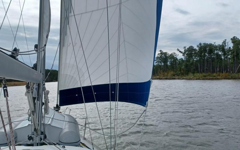
We took our time getting ready for departure enjoying the quiet town of Beaufort. Finally I topped off the center water tank and Josh from the marina emptied our holding tanks. Once complete we pulled away and slowly headed down the  Beaufort River. We passed Parris Island and then into the Port Royal Bay where I decided to raise the sails. The winds were from the SSE about 9-10 knots so we sailed up the river on a beam / broad reach until we arrived at Skull Creek / Hilton Head Island. I dropped the sails and we slowly meandered through grand homes to the port and lush marsh to starboard. The water was plenty deep, as long as you don’t stray from the line – which, if you are looking at all the sights is easy to do. We passed the marina we will be staying at tomorrow and headed to Bull Creek. I prepared the anchor as Sue steered us to the spot I marked on the chart. I adjusted the anchor trip line so that the float (bobby) would highlight the position of the anchor. I deployed the anchor and tossed bobby. The anchor felt like it caught so I paid out 120’ of chain. When I looked up, bobby was floating horizontally as opposed to vertically. Well, after going through the many scenarios as to the cause of bobby floating on its side we looked up and it had floated across the creek, almost into the marsh grasses, and that’s when we figured out it had come untied from the line. So, we raised the anchor and motored to within 10’ of the marsh risking running aground, to save a $30 float. Kind of silly but it was successful as Sue reached out with the boat hook and grabbed the float. I retied the float – this time correctly, and we anchored all over again. Other than that excitement, it was a relaxing motor / sail in sometimes sunny weather. Dinner tonight is grilled pork chops, brown rice and zucchini in Italian style tomato sauce. Cookies for desert. Temps should only do down to the low 50’s tonight so we are looking for a pleasant evening on the hook. Oh, the numbers, 25.8 miles and 4 hours 32 minutes.

Tomorrow we back track to the marina, Palmetto Bay Marina. 

Leg 16 - Palmetto Bay Marina Hilton Head

Even with strong currents and vast tide differentials it was a very calm night on the hook in Bull Creek. I was up as the sun peeked into the windows past the drawn curtains. I quietly (well, as quiet as I can be) moved to the saloon to open all the curtains to help warm up the area as I made the coffee. Of course I fired up Buddy, our propane heater, and soon it was habitable. We had a leisurely breakfast and were underway by 10:30. The anchor was caked with mud and shells and took a while to clean but eventually we turned around and slowly headed to the marina. We motored slowly as we didn’t want to get to the marina too soon. In season, check in time is 1:00 but since they aren’t busy they let us come early. We pulled alongside the pier starboard side to at the fuel dock to top off the fuel tank and then moved forward to our slip for the weekend. We plugged in and turned the heat on, cleaned up and got ready to explore the island. But first we stopped by a nearby restaurant for another breakfast / brunch. Afterwards friends we met on the trip down last fall, Pete and Denise, drove over and picked us up for a tour of the island, their boat, and just great conversation. They are keeping their boat here for the winter and are quite versed in the local areas. We took a walk on the beautiful expansive beach in the center of the town and then walked through their marina – hopefully I will stay there on the way back north. Then after touring their Monk 36 trawler (and getting jealous of their room and amenities) and enjoying sharing stories we headed out to dinner in the area around their marina. The food was great, atmosphere on the heated ‘outdoor space’ superb, and continued conversation very enjoyable. Then they drove us back to our marina and we turned in for the night.

Today, Sunday, they have offered to come over and help us top off fresh items and anything we need at a store. Which, is very nice as without a car, the task is more challenging.

Tomorrow we need to get an early start to take advantage of high tide in the many areas of shallow water warnings. The weather is also turning cold for a day or two and this stretch we are anchoring out for 5 nights straight.

Trip 1 is complete. 5 Days     5 days to date. 104 miles    104 miles to date


Sunday, November 14, 2021
Number of days:
1 day
  • The Office secure in the slip until we return.

The weather was calm so we deicded to top off the fuel tank for our extended absense. It was a nice quiet motor over to Patroit's Point and back. We saw dolphines during our trip. Temps were in the mid 60's on a sunny afternoon. 

Days: 1     Days to date: 100

Miles 6.18     Miles to date: 1,683

Monday, November 8, 2021 to Saturday, November 13, 2021
Number of days:
6 days
  • Leaving Morehead City.
  • Onslow Swing bridge, finally opened.
  • Southport marina docks. Leaving at sunrise again.
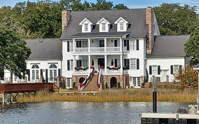
  • A decorated home along the way.
  • Down the beautiful Waccamaw River.
  • US 17 to Georgetown, SC
  • Georgetown SC, beautiful docks.
  • In time for the Veterans Day parade. Cute Coast Guard float.
  • Doing the laundry and relaxing in the sun.
  • Leaving Georgetown early in the morning.
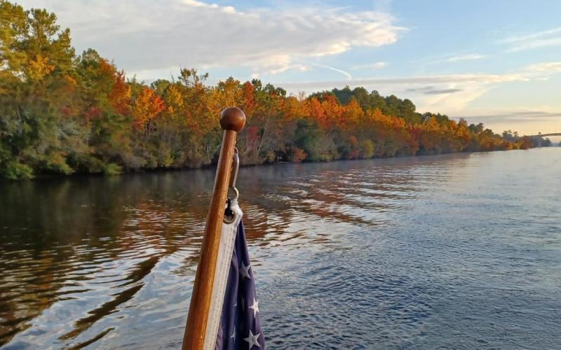
  • Sunrise along the way.
  • Finally see signs of Charleston.
  • Past Patriot's point.
  • Finally, the 'delivery' to Charleston is complete.

11/08/2021 Monday Leg 7 - Beaufort to Harbor Village Marina in Hampstead NC

The weather is getting better, so it will be an early 6:30 departure to get to our next location before sunset – 66 nautical miles. We will now once again experience the lunar tides as well as the varied current from the inlets. Naturally, this creates unmarked shoals. This should prove to be a bit more challenging than what we have been through so far. The winds have died down considerably but still are in the low teens with gusting to the upper 20’s. Of course it probably will gust to 30+ when trying to leave the narrow slip and the shifting channel out of here. Here is our planned route to Harbor Village Marina.

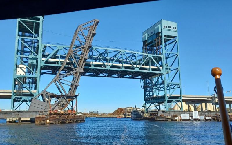
Today’s adventure started early, with a 6:05 departure. Wind was from the NW which made for a somewhat easy departure out of the slip and then out of the marina. We motored about in a circle waiting for Marty to get underway – around 6:20. It was quite chilly, in the high 40’s and the wind was blowing 15-20 knots so we were bundled up with many layers. But, the sun was coming out and that made all the difference. We motored out of Beaufort and into Morehead City and down the ICW. All was progressing nicely as Sue was admiring the many homes along the waterfront and, even more importantly, seeing more animals and birds. We saw quite a few dolphin and even some deer in the wilderness. About half way, Marty heard something about the Onslow Swing bridge on the VHF radio. Apparently, it was closed as they were trying to repair it. It had a tentative repair time of 3 PM. That would put us late into the next marina (as well as everyone else going down) so I called and explained what was going on. We all decided to anchor in the ICW above the bridge awaiting the repairs. Not a problem. Well, it was for me. I went up to prepare the anchor and for some reason the windlass decided not to work anymore. I removed the chain from the windlass and deployed the anchor manually. Then I tied it off with the snubber line to the cleat. Not too much work. We then relaxed a bit and had lunch in the warm sun of the cockpit. The bridge radioed to everyone that they got it fixed early so we were to weigh anchor and get moving. That was the hard part – ugh, why did I purchase the extra heavy anchor? I finally manually retrieved the anchor and Sue quickly accelerated to get through the bridge opening. Since we will be staying in marinas the rest of the trip, this won’t be an issue. Well, the rest of the day went well. We learned to navigate the different currents at the inlets, some very strong, and stay in the ICW channel. We got to the marina by 5:00 and docked successfully in very nice floating docks. Then we had drinks and appetizers on Marty’s boat and then went back to our boat for dinner. Early to bed as we are tired after a 10 hour motoring day with added anchoring challenges. Tuesday should only be between 6 and 7 hours, so that is good.

11/09/2021 Tuesday Leg 8 - Harbour Village Marina to Southport Marina in Southport NC

Tuesday we are headed to Southport Marina in Southport which is about 42 miles meaning it should be between 6 and 7 hours. We expect similar challenges along the way that we experienced on Monday as we are continuing down a similar path.

Today, Tuesday, was a very pleasant day. I was up early to make coffee and get a quick breakfast so that we could get underway by 8 am. Departure was easy, as I pulled out of the slip and back into the ICW. The sun was warm and the air still a bit brisk so we wore multiple layers. These would be shed once the day wore on. We were enjoying the nature as well as the vast array of architecture displayed in the houses on the water banks. We arrived at the first bridge and requested the opening which was on the ½ hour. All went well and we passed through. The next bridge was 5 miles away but only opened on the hour. At first we tried to get there, but quickly realized that it was not worth the effort so we just slowed down and enjoyed the pretty environment. We were becoming quite used to the many changes of the currents as we motored past the openings to the ocean. One minute you are running with the tide zooming along at 8 knots and the next you are chugging along against the current at 5 knots. We hit a strong current as we were entering the Cape Fear River. We finally made it to our marina and docked on the outside. Tomorrow we will just peel away from the dock and keep on going. After cleaning up, we headed to dinner in the marina’s Josephs Italian Bistro and then back to The Office for some light reading and boater’s midnight.

11/10/2021 Wednesday Leg 9 - Southport Marina to Grande Dunes

Wednesday is a continuation of the same as we travel from Southport Marina to Grande Dunes in Myrtle Beach SC 43 miles 6 hours 36 minutes.

Well, Wednesdays trip was just great. We left a little past sunrise in cool air and calm waters. The current hadn’t picked up as much as we anticipated so it was an easy departure. We got back into the groove of staying in the middle of the waterway and/or following  the Bob423 line. This is from a sailor who has made the trip for over multiple years and he shares his track information. We find it comforting to know that we have this to follow along. It has been very accurate so far and only a few places have shoaled up to change our course – and those areas have buoys to direct you. There have been very few issues with water level due to the passing storms and king tide. We have had some challenges with the current though. At each inlet to the ocean you are generally fighting the current and then it gets squirrely in the area that meets with the inlet and then you have strong currents to push you along. One minute you are running high RPMs and just barely moving and the next you have low RPMs and are flying along. The current is so strong sometimes it would push you sideways. But, other than those, it was a simple day. We had 2 swing bridges today but both opened on demand so timing wasn’t an issue. Sue identified a new bird and was enjoying her new bird book to verify. We also saw turtles sunning on logs on the side of the waterway. No dolphins today but we did enjoy the various fowl life on the shorelines. We finally arrived at the Myrtle beach area and noticed the different sights and sounds on the ICW versus the I-95 road trip to our yearly vacation spot in North Litchfield, SC. It was 74 degrees so Sue suggested that I wash the boat – so I did. We then had appetizers with Marty and Stephanie followed by a dinner of reheated left overs.

11/11/2021 Thursday Leg 10 - Grande Dunes Marina to Georgetown, SC

Thursday should be a great day as we will be meeting up with the Waccamaw River and motoring past many of the areas we visited during our annual summer trip to North Litchfield Beach. We are both excited to get up early and head to Georgetown SC.  40.6 miles 8 hours

We awoke early for a 7:00 AM departure. The weather was brisk with the temperature in the high 50’s. So we layered up and I sprung off of my stern line to get off the wall and then headed out into the ICW. A sailor friend told me that what we were seeing in this section of the ICW was to be the best along the entire ICW. We were greeted with fall colored bald cypress trees draped with Spanish moss. Of course the herons were dotted along the coastline and the pelicans greeted us when we arrived in the Winyah Bay. We saw turtles again sunbathing on logs and interesting scenery along the way. This area is special to us as we vacationed on the beach side for many years. We had previously taken a Waccamaw River cruise and learned about the history of the rice and Indigo plantations. We motored past Brookgreen Gardens from which we gazed at the river many years before. We passed many places which could be a very nice anchorage – something to plan for as we return. As the day wore on, we removed layers until we arrived in Georgetown where the temperature was a comfortable 72 degrees. When we arrived in Georgetown we were able to walk one block into town and experience their Veteran’s Day Parade. After that we walked around the town and came back to the boat for a nap and then out to dinner. Georgetown is a town that seems to be coming back to life as there were many more restaurants and shops than we remembered. Dinner was at our favorite restaurant, River Room. This was a good-by dinner with Marty and Stephanie as we would separate tomorrow. They needed to get to Charleston earlier. The second day in Georgetown we relaxed on board, I vacuumed and cleaned the inside as Sue used the marina’s laundry facilities. We found an authentic southern restaurant downtown, Soco Grille, walked around a bit, and then called it a day.

11/13/2021 Saturday Leg 11 - Georgetown, SC to Charleston

Georgetown to Charleston is going to prove to be very interesting. There is a strip where we need to pay very close attention to the timing as we must be there at mid-tide or higher. So, as our first time on our own, we get navigate a difficult stretch of the ICW. This picture shows us going out into the ocean to avoid the shallow areas. We might do that or just chance it. You will find out Saturday night or Sunday. Monday starts our dock assignment in the Cooper River Marina.

Saturday morning, in Georgetown, we awoke very early to get underway by 6:30 – right at sunrise. I calculated we needed to maintain an average speed of 6.5 knots to get to the marina before they close. Unfortunately this put us at the location along the way that had the most warnings about shallow water. It was a brisk morning with steam rising from the water as the sun introduced itself to the world. We motored out towards the ocean on the Winyah River until we reached the cut off for the ICW at the Estherville Minim Creek Canal. There was a trawler in front of us that I called to and asked their draft. Since it was greater than ours we agreed that I could follow. Close enough that I could be in their path but not so close that if they went aground I couldn’t back down. We were making great time initially since the current was with us and we were moving along at over 8 knots. An interesting aspect of traveling on the ICW is that the current changes depending on the tide and which side of an inlet you are on. Once you cross an inlet, the current changes. So, it isn’t possible to count on the current pushing you for the entire tidal period. But, we caught enough that we maintained a great average speed. Of course at each inlet one must slow down as this is where shoaling occurs. We arrived at Jeremy Creek at McClellanville where the dreaded low spots were. We slowed, waiting for an impending grounding, but the water depth never went below 8 feet. Once past, we motored along, slowing for the areas noted in the book, but by now the tide was returning and my blood pressure was lowering.  About two hours out from the Ben Sawyer Swing bridge I called our lead boat and did a slow pass, so we could speed up to make the bridge opening. Once past the bridge, we popped out into the Charleston bay and motored with the current towards our marina. We arrived around 3 pm, turned around and docked stern to. We tide up securely, plugged in, and then had a final rum celebratory shot. This part of the journey was complete.

If you zoom in on the chart section you will see that the journey from Georgetown to Charleston meandered through the low country of South Carolina. For most of the ride we were in Francis Marion National Forest – he is also known as the Swamp Fox. Anyway, it was full of beautiful marshlands and wildlife. Then returned to civilization at Isle of Palms where we were greeted with fancy beach homes, and too many people and power boats. In hindsight, I would do this leg in two days, either anchoring out in one of the picturesque anchorages or docking at a marina in Jeremy Creek.

Well, this part of the trip is complete. We are spending the next few days cleaning things up and getting the boat ready for our absence as we return to PA. Early next year we will continue out journey south, at a much slower pace, into Florida before returning home to Parkside.

Sunday, October 31, 2021 to Sunday, November 7, 2021
Number of days:
8 days
  • ICW mile zero in Norfolk VA.
  • Made it through the Gilmerton bridge.
  • Top Rack marina. Our neighbor. Nice looking boat.
  • In the Great Bridge locks.
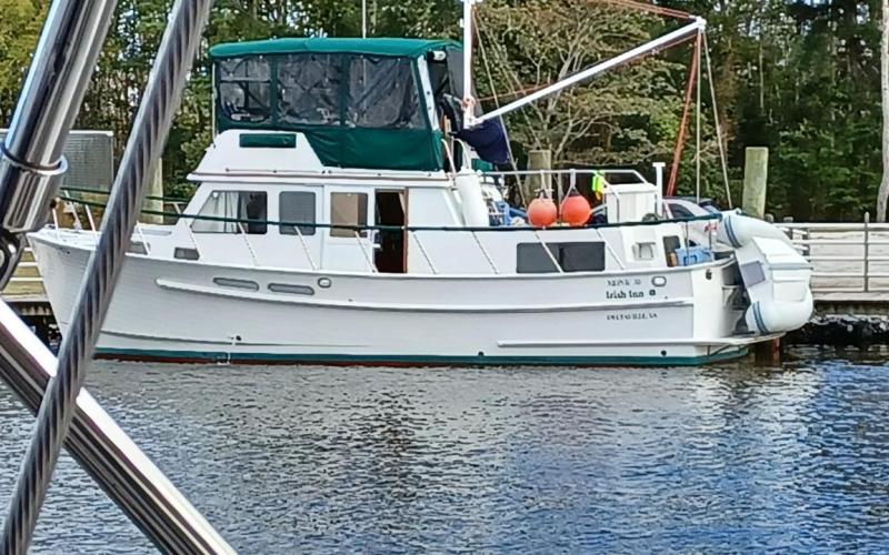
  • At Coinjock Marina - a trawler we met along the way - Irish Inn.
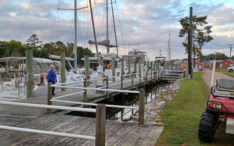
  • The long dock at Coinjock.
  • Currituck Sound - looks like a lot of water but it is very shallow most places.
  • The Alligator River bridge.
  • Anchoring in the bottom of the Alligator River. We go through the 22 mile long canal tomorrow.
  • Belhaven marina.
  • Sailing to Oriental.
  • Along the way some land anchorages.
  • Beaufort, NC.
  • Very high water - King tides.
  • Visit to the museum.

10/31/2021 Sunday Leg 1 – Norfolk to Top Rack

A short trip planned today. We had an enjoyable three days in Waterside Marina enjoying downtown Norfolk, visiting with our friends, and touring the USS Wisconsin and the Nauticus Museum.  After enjoying this great stopover at Waterside Marina we are heading south. We are focused on getting through the limited opening of the Gilmerton lift bridge and then stopping at Top Rack marina. Today our trip should be about 5 miles and 1 hour, depending on how long we wait on the bridge. A gentle start to the trip – after a very aggressive trip down the bay in 2 days.

Today’s trip was a great start. The weather was dry and temps got into the low 70’s with a bright sunny sky. We wound about the river through the many shipyards of Norfolk, Portsmouth, Chesapeake, and finally came to rest at a little marina called Top Rack. We filled up on fuel and then docked next to our travel buddy boat. After lunch we relaxed and soaked in the warm afternoon sun. Then our VA Beach friends, Kevin and Amy, drove down to meet us for dinner at the Amber Lantern marina restaurant. All in all, it was a relaxing day with good friends and good food.  

11/01/2021 Monday Leg 2 - Top Rack to Coinjock NC

Monday our travels will be a bit more aggressive. We expect to be out of the slip by 7:50 so that we get to the Great Bridge Lock for the 8:30 opening. Then we have to get between two bridges that have openings that are very close together but not in time. So, hopefully we can get through one bridge and make it to the other for the next opening. Total distance is expected to be 35 miles and hopefully 7 hours. We should end the day at a marina in Coinjock NC.

The trip to Coinjock was lots of fun. After a light breakfast of toast, hard boiled eggs and coffee, we headed out early to catch the 8:30 Great Bridge Lock and then once we were cleared we raced to get through two more bridges. We missed the 10:00 AM opening on the second bridge so we had to sit until the 11:00 AM but other than that it was nice motoring all day. The sun was out all day with short naps behind clouds but otherwise it was comfortable weather. Sue was enjoying the nature we were emersed in and I was enjoying a simple, follow the chart motoring. We arrived at Coinjock mid afternoon and after we tied up we had our friends over for appetizers. Then we walked the docks to meet people who were passing us and whom we passed along the way. Many of us will be in the same place tomorrow so it was nice to meet everyone. We enjoyed a great dinner at the famous Coinjock restaurant, known for it’s 32 oz prime rib dinner, and then headed to bed.

11/02/2021 Tuesday Leg 3 - Coinjock to Alligator River

Tuesday we plan to head down the North River out across the Albemarle Sound and into the Alligator River. Winds are to be very light so there will not be an opportunity to sail in the Sound. Total distance for this trip is 45.8 miles and should take 8-9 hours.

Tuesday we were up at 6:30 for an 8:30 departure out of Coinjock. We finished up breakfast and got everything ready and I shoved “Far Fetched” off and then got “The Office” underway. It was a very nice scenic ride out of Coinjock down to North Landing River and across the Albemarle Sound. We entered the Alligator River and asked for the bridge opening about ½ mile out and there were no issues. All went very smoothly and we traveled down the river past the opening to the cannel where we dropped the hook in 10 feet of water off of Tuckahoe Point. We relaxed with drinks and snacks until sundown and then grilled salmon, served with brussel sprouts and rice pilaf. Winds were supposed to be light from the south but instead they were in the 20’s from the north. Finally around 10:00 PM they calmed down so I called it a night. Once again, a very nice travel day.

11/03/2021 Wednesday Leg 4 - Alligator River to Belhaven NC

Wednesday the plan is to travel to Belhaven NC and tie up in a marina. Most of the trip is a straight shot in the 22 mile Alligator River Pungo River Canal. The total distance should be about 30 miles and 6 hours. Here is the chart view.
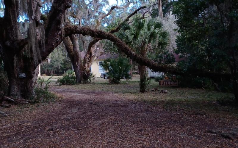
On Wednesday we traveled from Tuckahoe Point on the Alligator River to Belhaven. After a hearty breakfast of bacon and eggs to warm up the saloon and get us ready for a cold day, we raised the anchor and headed towards the canal. Traveling through the 22 mile Alligator River Pungo River Canal we encountered many interesting aspects. First, was the nature and views of the marshlands. Second, was the ‘culture’ of ICW traveling, as in the event of the ‘Slow Pass’. The (normally) faster power boat comes up from behind and asks for slow pass. The slower vessel (usually us sailboats) responds over the radio and pulls a little to starboard (normally) and slows way down. Then the faster boat gently goes by being focused on not leaving a strong wake. We had that fun experience, all day long listening to the VHF radio. Then of course, many of these boats came into the marina so we got to meet and greet with them over dinner. When we finally got to the Pungo River we let out the genoa to sail for a few hours before heading into the marina in Belhaven. Before heading to the docks we were directed to the City Dock for a requested pump out. It was not something I would recommend as I first had to run into town to get a 5$ token to operate the pump out and we had to do everything ourselves. Also, a small power boat was blocking most of the dock area and we had to squeeze in. But now, at least, the holding tanks were mostly empty. We then backed out of the City docks and headed over to Belhaven docks where we had the outer most location – making it easier for departure tomorrow. After cleaning up, we went to the Spoon River restaurant for dinner with Marty and Stephanie. Full of fresh air and food as well as tired, we had an early bedtime, otherwise know as boater’s midnight.
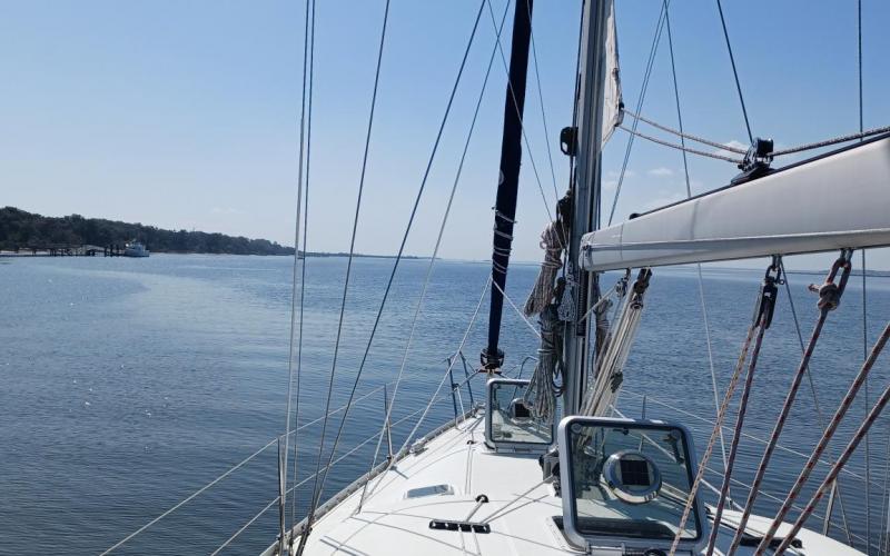
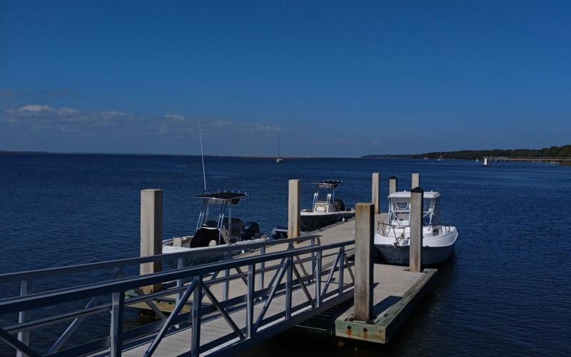
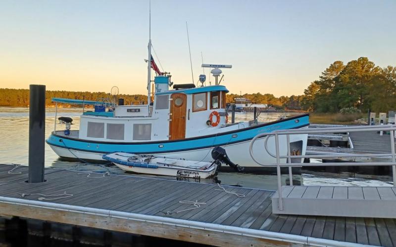
11/04/2021 Thursday Leg 5 - Belhaven to Oriental NC

Ok, now for Leg 5 – our trip to go from Belhaven to Oriental. This will be a long ride of over 45 miles down the Pungo River, into Goose Creek and into the Neuse River. Hopefully the weather holds but we are preparing for some rain.

Today was quite an adventure. We were leaving Belhaven and I called the marina in Oriental. It was about 45 miles and should take about 6-7 hours. The good news after contacting the marina was that they had our reservation and we were all set. The challenging news was that he wasn’t expecting us until 6 PM and he had us on the fuel dock so the earliest we could arrive was 5 PM Well, that allowed us to sail the entire distance – just about 42 of the 45 miles was sailing. The winds were from the N or NW at 15 – 20 knots which meant we were on a run or a broad reach the entire time. We sailed out of the Pungo River, into the Pamlico River and then into Goose Creek, then Bay River and finally into the Neuse River. The sailing was great, for sure, but around 2 PM, because the winds were so strong, we were still projected to arrive before 5. So, I had to reef the jib to less than 50% but we still were going over 4.5 knots. The winds were getting stronger, the air colder, and there was rain in the distance behind us. Finally around 3:45 I called the marina and asked (almost begged) if we could come in early as no one else was out here and it was getting cold. They relented and let us dock around 4 PM A great day with lots of fresh air. Sue heated sausage and gravy with biscuits for a late second breakfast or early lunch while underway and then also made hot chocolate in the afternoon.  We met up with Marty and Stephanie as well as with our new friends Pete and Denise for dinner. Then back to The Office for boater’s midnight.

11/05/2021 Friday Leg 6 - Oriental to Beaufort

Well, Friday the weather is supposed to turn a little colder and possible rainy. We have about 20 miles to go to Beaufort. Here is our projected route. First we cross the Neuse River and then in protected areas most of the rest of the way.

Friday we got underway 10:30 AM from Oriental. The ride was fun as we were moving through neighborhoods and checking out all the unique houses and properties. One house had a helicopter in the back yard, others not so lucky. At first we were quite warm and then it became cooler. The winds were again from the north between 15 and 18 knots so as soon as we were out of the breakwater we raised the jib to sail across the Neuse River. Once in Adams Creek we dropped the sail to motor through the creek. We were trying to go slowly as we wanted to avoid the current while docking in Beaufort NC. However, due to the strong current in the creek we were being pushed along at almost 6 knots so we actually arrived at 2:15 PM The current was strong but that was no excuse for my poor docking. Regardless, no one lost any limbs and the boat is fine so all is well. I went up to the office to pay and dropped my credit card through the decking. I tried to fish it out (over dirt) but, too no avail, so I called Discover and cancelled the card. Rats.

The weather is predicted to be rainy, windy, and cold for the next few days so we will stay here an extra day. Of course, now I have to contact all future marinas to move expected arrival dates. We now have a bit of a break and expect to get going on Monday again. Break is over. We had a very nice time in Beaufort. We hit all the shops and ate at the many fine restaurants available. We even spent a short afternoon in the local maritime Museum, which was a great overview of the wildlife in the NC tidewater as well as a thorough review of the pirate Blackbeard and his sunken ship, Queen Ann’s Revenge.

Wednesday, October 27, 2021 to Saturday, October 30, 2021
Number of days:
4 days
  • Sailing past boats south of the bridge.
  • It is cold...
  • Sunset as we turn into the Potomac River.
  • Anchoring in the dark in Cornfield Harbor.

10/27/2021 Wednesday Parkside to Cornfield Harbor

We met with Marty and Stephanie (423 Beneteau Far Fetched) Tuesday evening to discuss departure. Since the wind was blowing from the northwest we agreed upon an early departure to get out before low tide. In the past, when the winds blow consistently from the North/Northwest, it blows the water out of the bay and we can be stuck in the mud. I awoke around 5:30 and started the coffee and checked the water depth. It read 5.5 and was continuing to drop as low tide was still not until 8 am. I am on the ground when it reads 5.3. I took the trash out and met Marty on the way back, who already had his engine running. I quickly returned to The Office and started getting ready for departure. Sue was down below finishing up her chores and I started the engine and removed the power cables and lines. I moved the boat a little forward so that I could rest against the port piling so I could remove the lines as we were taking them all with us. As I did that I felt myself pushing through the mud. But, since I have ‘plowed’ my way in and out before it was mostly just silt. I was resting against the piling and removed the lines and then returned to the cockpit to depart from the slip. Once again I was definitely pushing through the silt but as my stern passed the outside pilings I reached 6’ of water and was on my way. Sue arrived in the cockpit and we looked back to Marty’s boat awaiting his emergence from their slip. It wasn’t happening so we motored very slowly and called back. He recommended that we continue on slowly and he would catch up with us. We continued out to Middle Rive and then onto the bay, motor sailing as slow as we could. By around 10 he called and recommended that we just go ahead and they would catch up. By now we were heading well on our way down the bay on a starboard broad reach in 25 knot winds and moving along quite well. Around noon Marty called and said that when they finally got underway they would sail all night as the weather on Friday looked like strong winds and rain. Because of this we changed out destination from Solomons’ Island (as agreed the night before) to Cornfield Harbor off of the Potomac River so that we could be a little closer to Norfolk the next day. Sailing was great and we were moving along at speeds over 9 knots. By the end of the day we had traveled 87 miles and hit a maximum speed of 10.1 knots. We did get slowed down after we snagged, not one but two different crab pots. We arrived at Cornfield Harbor in the dark and there were other boats there already so we found a spot in between them and dropped the anchor. This was a perfect spot as it was protected from the north / northeasterly winds. Dinner was pork and sauerkraut, mashed potatoes, and green beans. We cleaned up, relaxed a bit, and then went to bed early as Thursday would be a long day as well.

10/28/2021 Thursday Cornfield Harbor to Waterside Marina, Norfolk VA

Up early again to get a head start on the weather and catch the outgoing tide as long as possible. The bad weather that was predicted for Thursday night and all day Friday meant we needed to get to somewhere safe. We had a quick breakfast and then raised the anchor, once again, in the pitch black. All went well due to our new headsets and improved communication. We slowly motored out of the anchorage and headed towards the bay. Once the sun started to greet us, I hauled out the jib. Then, we pulled out the main and raised the RPM to get speed while we had the tide. We were moving along steady at 9.5 knows for a few hours. I called the Navy base marina for a slip but they didn’t have anything available. Then I reached out to Waterside marina via Dockwa texting and they confirmed the early arrival. We arrived at Hampton Rhodes with plenty of time to get to the marina so we slowed down and enjoyed the sights going into Norfolk. Kevin and Amy greeted us at our marina with a home cooked meal and we caught up on events since we last were together. Two days down the bay for 166.5 miles in strong winds was not the anticipated start of the trip but we were here in Norfolk, awaiting the start down the Atlantic ICW. Basically, our marina is at mile zero, so we will be starting from this location on Sunday. Exhausted, we ended the evening early and fell into bed.

10/29/2021 Friday Norfolk VA

We awoke at a decent time and spent the morning cleaning from our dash down the bay. Kevin and Amy came over and we walked around Norfolk and had lunch in town at the down town Hilton. We went over to their house and relaxed in the afternoon and then went to dinner at The Porch in VA Beach. It was a lovely day.

10/30/2021 Saturday Norfolk VA

Again it was a relaxing morning before we met with Kevin and Amy to have brunch at The Hair of The Dog in Norfolk. Afterwards we toured the Nauticus Museum and the USS Wisconsin. Dinner was at their home and they returned us to The Office so we could prepare for our departure Sunday morning.

Sunday, October 17, 2021 to Thursday, October 21, 2021
Number of days:
5 days
  • Sunset in Rock Hall Landing.
  • Sunset at Dobbins Island.
  • Moonrise at Dobbins Island.
  • Sunset in Hawk Cove.
  • Moonrise in Hawk Cove.

Parkside to Still Pond: I picked up Katie at BWI around noon. We arrived at Parkside just as Sue was arriving, so we loaded up multiple carts of stuff from Katie's car and Sue's car and headed to the boat to unpack and get underway. We quickly motored over to Crazy Tuna for a festive lunch. We docked well and had a nice enjoyable lunch before leaving about 1630 and heading out Middle River. I only deployed the jib as very strong winds were predicted. We went out on a broad reach under power behind Pools Island on a beam. This caused a lot of challenges as the waves were on the beam as well. We finally made it from behind the island and I headed more on a broad reach under sail all the way to Still Pond. Winds were pushing us along at 8 plus knots. I had the jib out only under 32 knots and handling well. We went to the southern side of Still Pond as winds were predicted to gust in the 30s overnight. It took two tries to anchor as the anchor float was constantly underwater giving me an indication that the anchor didn't catch. We paid out over 90 feet of chain to prepare for strong winds. We finally settled down to a nice moonrise in the backdrop. Down below Sue made snacks and then Sue and Katie played Scrabble until everyone was too tired and we called it boater’s midnight. It was a quiet night with gentle rocking.

Still Pond to Rock Hall Landing: I was up a little after seven and got things rolling by heating water and making the coffee. Sue and Katie followed shortly thereafter, and we had a nice breakfast of sausage and gravy with biscuits. We cleaned up and prepared to get underway. The anchor float was under water all night but since we never moved, I guess the line must have become tangled on the anchor. It popped free once the anchor was up. We headed out into the Bay where the winds were quite strong from the West northwest. We motored as far across the Bay before the yellow restriction line so he could sail more on a broad reach down the Bay. The sailing was great down the Bay with as winds topped out over 30 + but we were not healing as we had the main sail and jib reefed 50%. And yet somewhere we topped over 10 knots! Katie sailed a good portion of the way doing a great job with the gusting winds and rolling waves. We finally made it to the Swan Point cut so I took the wheel and we sailed through on a run. No issues with water depths even though the winds were from the north northwest for so long period. We docked gently at the ‘T’ on dock ‘D’ where Joe was there to greet us. We cleaned up and headed to the office to pay the bill I then go to Waterman’s for lunch. But Joe said our visit was on the House and Waterman’s was closed. We came back and had sandwiches for lunch and afterwards people slept. Then Sue and Katie played Scrabble as I sorted clothing, preparing for the ICW. For dinner we had pork and sauerkraut with mashed potatoes and green beans and of course, ice cream sandwiches for dessert. Finally, we watched the movie airplane and then hit the hay at around 10:00 PM. Temperatures got to a low of 47 degrees outside, but it stayed in the 50s inside.

Rock Hall Landing to Dobbins Island: It was a quiet night in port. We had eggs and bacon for breakfast as Katie was waiting on a call. No call, so we cleaned up and got underway. We motored out of Rock Hall Landing and out through the Swan Point Cut. The winds were from the northwest 7 to 12 with temperatures starting at 52 and warming up to a 68 in the afternoon under sunny skies. We motor sailed westerly so we could sail down to the Magothy River with the current winds. Sailing was excellent on abeam / broad reach. We tacked a few times to get into the river as we were getting quite good at it. Once inside the river, we headed north to Dobbins Island where we slowly sailing on a beam as wind shifted to the West. Finally, we dropped the anchor and relaxed for the afternoon. It was a sunny cool after noon and Sue and Katie were playing Scrabble. I was still trying to figure why the anchor float continues to sink. Katie and I are thinking that the weight might be too heavy pulling the float down until it gets stuck in the mud. We continue to search for a solution as I want to use it during out ICW trip. Dinner was grilled steak, rice pilaf, and salad. More games after dinner and finally bed at 10:30. Once again it was a quiet night with winds not picking up until 3:00 AM when they started gusting to about 25.

Dobbins Island to Hawk Cove: Katie was up first at 8:45 and got us started. We had leftover sausage and gravy for breakfast and an enjoyed an easy relaxing morning. We sailed out of the river with Katie doing most of the driving. Then we headed up the coast and anchored on the southern side of the Patapsco River for a late lunch. Katie and I think we identified the issue with the anchor float. Due to the cold weather, the float deflated and can no longer stay afloat. So, we found the hand pump and then did our best to inflate. Meanwhile, after lunch we sailed towards Pleasure Island cut when Katie finally got her phone call. We ended up sailing through the cut while she was on the phone as I could not use the engine. All went well and we slowly sailed towards the anchorage. Another boat was where we picked so we adapted. The anchor float stayed afloat this time, so our solution worked! The other boat appeared to get angry with us as we were in his view of the potential sunset, so he raised his anchor and moved in front of us - silly. Dinner was grilled chicken, Mac and cheese, and asparagus grilled in foil. Afterwards was game night until almost midnight. It was calm all night with gentle rolling now and then. The temps only went down to the low 60s. The batteries were about 64% in the morning.

Hawk Cove to Parkside: It was a very quiet night. I was up around 7:30 and I got the water and coffee started. We had scrambled eggs and sausage for breakfast to enable a somewhat early start. We raised the anchor and Katie drove all the way to Long Beach where I docked for fuel. We topped off fuel and then went to Maryland Marina to pump out. I did a poor job of docking but finally tide up. With empty holding tanks we headed home to Parkside where Sue and Katie left for home. I stayed to defrost the freezer and prepare the boat for the ICW trip.

Days: 5     Days to date: 82

Miles: 80.4     Miles to date: 1078

Pages